
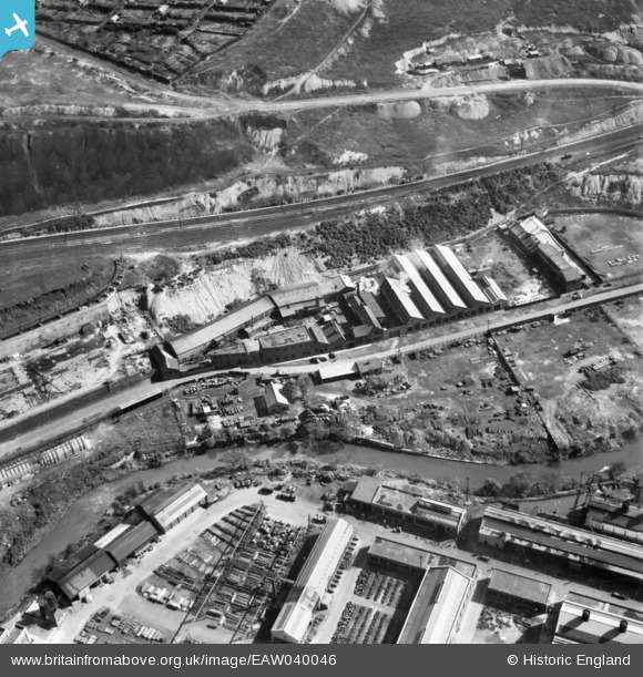
EAW040046 ENGLAND (1951). The Hattersley & Ridge Ltd Engineering Works, Owlerton, 1951
© Copyright OpenStreetMap contributors and licensed by the OpenStreetMap Foundation. 2026. Cartography is licensed as CC BY-SA.
Nearby Images (11)
EAW040046

EAW040040

EAW040044

EAW040047

EAW040042

EAW040045

EAW040043

EAW040041

EPW039011

EPW039010

EAW005034

Details
| Title | [EAW040046] The Hattersley & Ridge Ltd Engineering Works, Owlerton, 1951 |
| Reference | EAW040046 |
| Date | 17-September-1951 |
| Link | |
| Place name | OWLERTON |
| Parish | |
| District | |
| Country | ENGLAND |
| Easting / Northing | 434310, 389631 |
| Longitude / Latitude | -1.4838934031989, 53.402124186312 |
| National Grid Reference | SK343896 |
Pins
Be the first to add a comment to this image!