
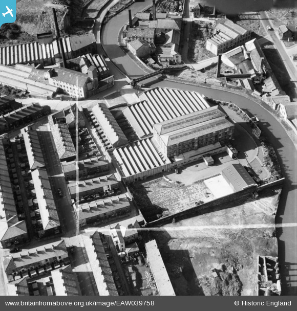
EAW039758 ENGLAND (1951). Healey Royd Mill, Burnley, 1951. This image was marked by Aerofilms Ltd for photo editing.
© Copyright OpenStreetMap contributors and licensed by the OpenStreetMap Foundation. 2026. Cartography is licensed as CC BY-SA.
Nearby Images (11)
EAW039758

EAW039764

EAW039762

EAW039760

EAW039763

EAW039756

EAW039759

EAW039761

EAW039757

EPW013172

EAW039755

Details
| Title | [EAW039758] Healey Royd Mill, Burnley, 1951. This image was marked by Aerofilms Ltd for photo editing. |
| Reference | EAW039758 |
| Date | 15-September-1951 |
| Link | |
| Place name | BURNLEY |
| Parish | |
| District | |
| Country | ENGLAND |
| Easting / Northing | 384059, 432045 |
| Longitude / Latitude | -2.241964471171, 53.784268376327 |
| National Grid Reference | SD841320 |
Pins
Be the first to add a comment to this image!