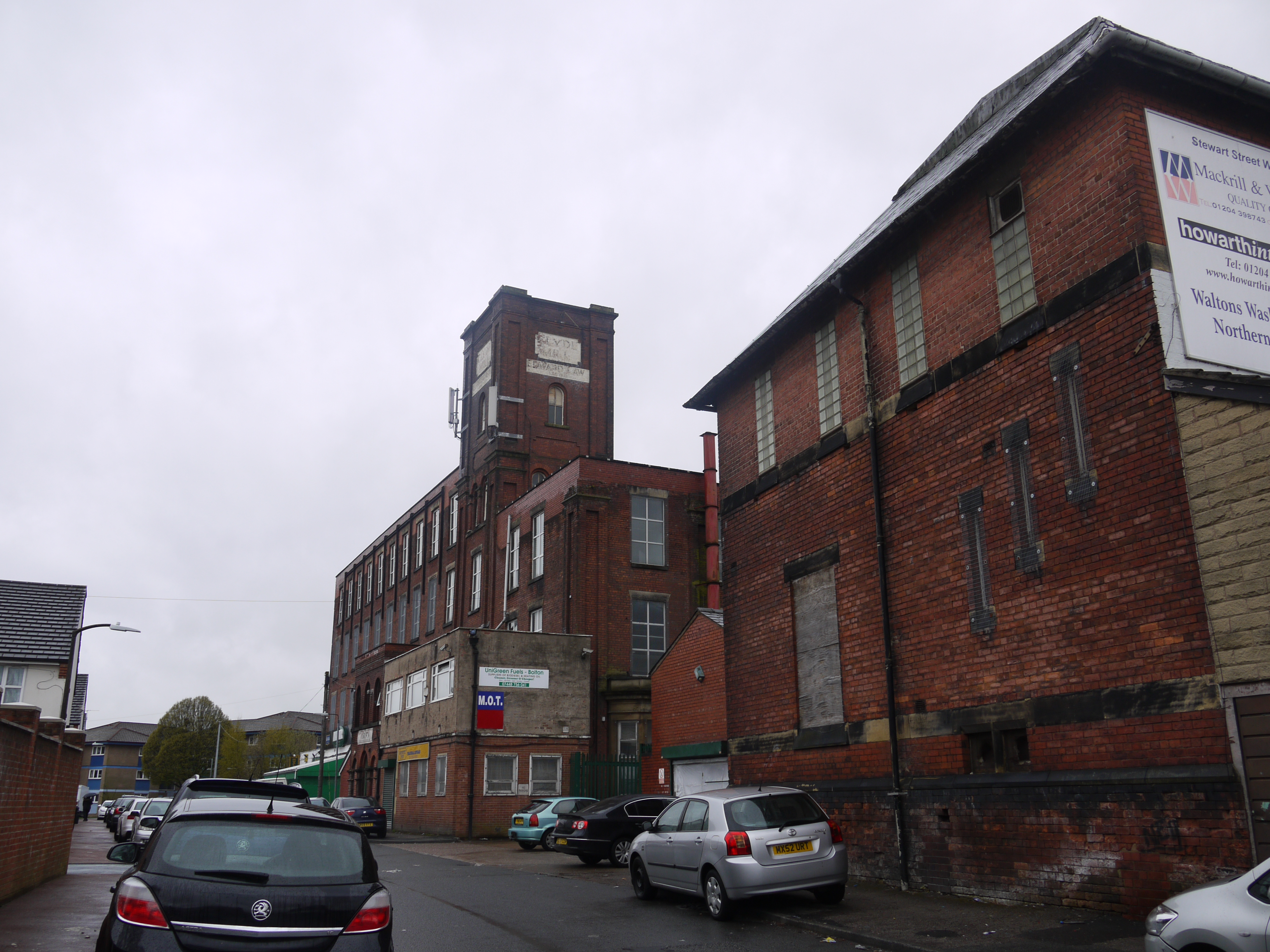
EAW039747 ENGLAND (1951). The Clyde Mill on Stewart Street, Bolton, 1951. This image was marked by Aerofilms Ltd for photo editing.

© Copyright OpenStreetMap contributors and licensed by the OpenStreetMap Foundation. 2026. Cartography is licensed as CC BY-SA.
Nearby Images (8)
EAW039747

EAW039749

EAW039748

EAW039751

EAW039753

EAW039750

EAW039752

EAW039754

Details
| Title | [EAW039747] The Clyde Mill on Stewart Street, Bolton, 1951. This image was marked by Aerofilms Ltd for photo editing. |
| Reference | EAW039747 |
| Date | 15-September-1951 |
| Link | |
| Place name | BOLTON |
| Parish | |
| District | |
| Country | ENGLAND |
| Easting / Northing | 371213, 410550 |
| Longitude / Latitude | -2.4349501149424, 53.59049960079 |
| National Grid Reference | SD712106 |