
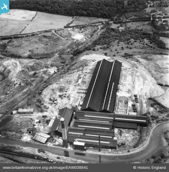
EAW038841 ENGLAND (1951). The Old Level Works, Brierley Hill, 1951. This image has been produced from a print.
© Copyright OpenStreetMap contributors and licensed by the OpenStreetMap Foundation. 2026. Cartography is licensed as CC BY-SA.
Nearby Images (2)
EAW038841

EAW038840

Details
| Title | [EAW038841] The Old Level Works, Brierley Hill, 1951. This image has been produced from a print. |
| Reference | EAW038841 |
| Date | 15-August-1951 |
| Link | |
| Place name | BRIERLEY HILL |
| Parish | |
| District | |
| Country | ENGLAND |
| Easting / Northing | 392464, 287173 |
| Longitude / Latitude | -2.1109799529702, 52.482058751869 |
| National Grid Reference | SO925872 |
Pins
Be the first to add a comment to this image!