
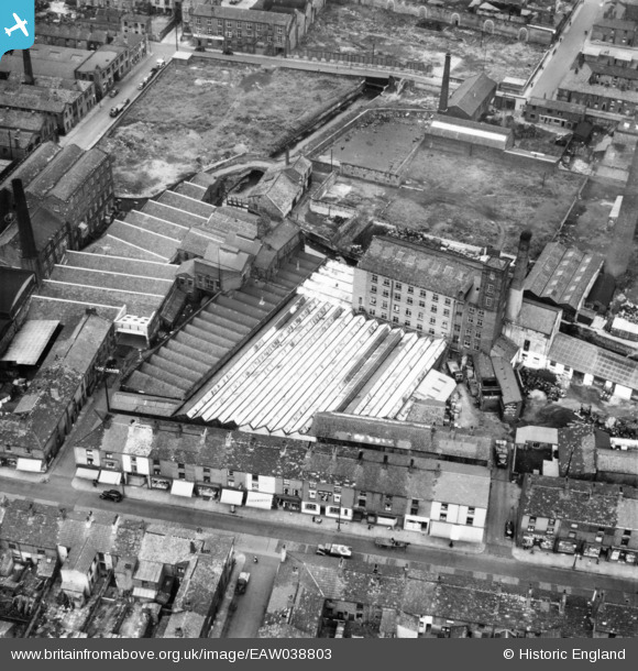
EAW038803 ENGLAND (1951). Fir Mill off Whalley Banks, Blackburn, 1951. This image has been produced from a print marked by Aerofilms Ltd for photo editing.
© Copyright OpenStreetMap contributors and licensed by the OpenStreetMap Foundation. 2026. Cartography is licensed as CC BY-SA.
Nearby Images (9)
EAW038803

EAW038806

EAW038804

EAW038809

EAW038808

EAW038810

EAW038811

EAW038805

EAW038807

Details
| Title | [EAW038803] Fir Mill off Whalley Banks, Blackburn, 1951. This image has been produced from a print marked by Aerofilms Ltd for photo editing. |
| Reference | EAW038803 |
| Date | 15-August-1951 |
| Link | |
| Place name | BLACKBURN |
| Parish | |
| District | |
| Country | ENGLAND |
| Easting / Northing | 367620, 427664 |
| Longitude / Latitude | -2.4910207708454, 53.744125664638 |
| National Grid Reference | SD676277 |
Pins

powerpop |
Tuesday 28th of October 2014 10:26:44 PM | |
|
powerpop |
Tuesday 28th of October 2014 10:26:14 PM | |
|
powerpop |
Tuesday 28th of October 2014 10:25:42 PM | |
|
powerpop |
Tuesday 28th of October 2014 10:25:13 PM | |
|
powerpop |
Tuesday 28th of October 2014 10:24:55 PM |