
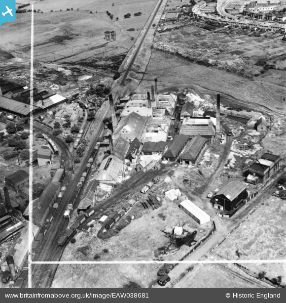
EAW038681 ENGLAND (1951). The Common Salt Works, Stafford, 1951. This image has been produced from a print marked by Aerofilms Ltd for photo editing.
© Copyright OpenStreetMap contributors and licensed by the OpenStreetMap Foundation. 2025. Cartography is licensed as CC BY-SA.
Nearby Images (18)
EAW038681

EAW038675

EAW038680

EAW038676

EAW038677

EAW038678

EAW038679

EAW038671

EAW038664

EAW038665

EAW038666

EAW038672

EAW038669

EAW038670

EAW038673

EAW038668

EAW038667

EAW038674

Details
| Title | [EAW038681] The Common Salt Works, Stafford, 1951. This image has been produced from a print marked by Aerofilms Ltd for photo editing. |
| Reference | EAW038681 |
| Date | 14-August-1951 |
| Link | |
| Place name | STAFFORD |
| Parish | |
| District | |
| Country | ENGLAND |
| Easting / Northing | 392446, 324981 |
| Longitude / Latitude | -2.1121111175644, 52.821979977109 |
| National Grid Reference | SJ924250 |
Pins
Be the first to add a comment to this image!