
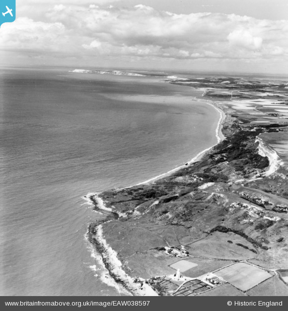
EAW038597 ENGLAND (1951). Watershoot Bay and Chale Bay, St Catherine's Point, from the south-east, 1951. This image has been produced from a print.
© Copyright OpenStreetMap contributors and licensed by the OpenStreetMap Foundation. 2026. Cartography is licensed as CC BY-SA.
Nearby Images (2)
EAW038597

EAW038599

Details
| Title | [EAW038597] Watershoot Bay and Chale Bay, St Catherine's Point, from the south-east, 1951. This image has been produced from a print. |
| Reference | EAW038597 |
| Date | 13-August-1951 |
| Link | |
| Place name | ST CATHERINE'S POINT |
| Parish | NITON AND WHITWELL |
| District | |
| Country | ENGLAND |
| Easting / Northing | 449443, 75468 |
| Longitude / Latitude | -1.3016492611785, 50.576268070754 |
| National Grid Reference | SZ494755 |


