
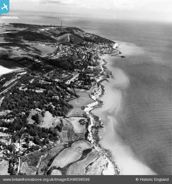
EAW038596 ENGLAND (1951). The town and surrounding coastline, Ventnor, from the south-west, 1951. This image has been produced from a print.
© Copyright OpenStreetMap contributors and licensed by the OpenStreetMap Foundation. 2026. Cartography is licensed as CC BY-SA.
Details
| Title | [EAW038596] The town and surrounding coastline, Ventnor, from the south-west, 1951. This image has been produced from a print. |
| Reference | EAW038596 |
| Date | 13-August-1951 |
| Link | |
| Place name | VENTNOR |
| Parish | VENTNOR |
| District | |
| Country | ENGLAND |
| Easting / Northing | 454047, 76450 |
| Longitude / Latitude | -1.2364838142128, 50.584691314261 |
| National Grid Reference | SZ540765 |
Pins
User Comment Contributions

Ventnor CHL station. |

cptpies |
Friday 21st of November 2014 10:59:19 AM |