
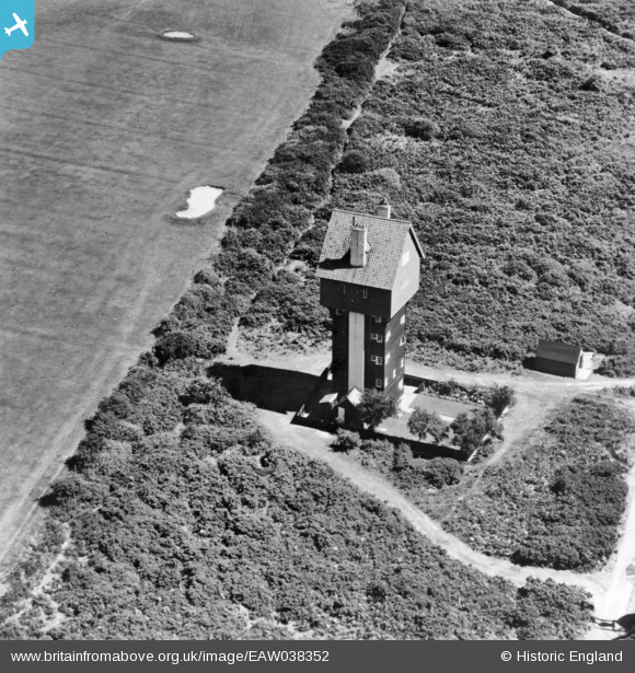
EAW038352 ENGLAND (1951). The House in the Clouds, Thorpeness, 1951. This image has been produced from a print.
© Copyright OpenStreetMap contributors and licensed by the OpenStreetMap Foundation. 2026. Cartography is licensed as CC BY-SA.
Nearby Images (5)
EAW038352

EAW038353

EAW038306

EAW038305

EAW038336

Details
| Title | [EAW038352] The House in the Clouds, Thorpeness, 1951. This image has been produced from a print. |
| Reference | EAW038352 |
| Date | 3-August-1951 |
| Link | |
| Place name | THORPENESS |
| Parish | ALDRINGHAM CUM THORPE |
| District | |
| Country | ENGLAND |
| Easting / Northing | 646862, 259879 |
| Longitude / Latitude | 1.6114745263893, 52.181412187629 |
| National Grid Reference | TM469599 |
Pins
Be the first to add a comment to this image!