
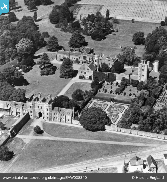
EAW038340 ENGLAND (1951). St Osyth's Priory, St Osyth, 1951. This image has been produced from a print.
© Copyright OpenStreetMap contributors and licensed by the OpenStreetMap Foundation. 2026. Cartography is licensed as CC BY-SA.
Nearby Images (17)
EAW038340

EAW038339

EAW024666

EPW041397

EPW041396

EAW048918

EAW048915

EAW048917

EAW048913

EAW024665

EAW048920

EPW011629

EAW024667

EAW024668

EAW048916

EPW049032

EAW048914

Details
| Title | [EAW038340] St Osyth's Priory, St Osyth, 1951. This image has been produced from a print. |
| Reference | EAW038340 |
| Date | 2-August-1951 |
| Link | |
| Place name | ST OSYTH |
| Parish | ST. OSYTH |
| District | |
| Country | ENGLAND |
| Easting / Northing | 612137, 215690 |
| Longitude / Latitude | 1.0769897950959, 51.799102840734 |
| National Grid Reference | TM121157 |
Pins
Be the first to add a comment to this image!