
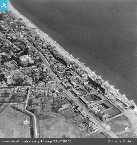
EAW038304 ENGLAND (1951). Hertford Place and environs, Aldeburgh, 1951. This image has been produced from a print.
© Copyright OpenStreetMap contributors and licensed by the OpenStreetMap Foundation. 2026. Cartography is licensed as CC BY-SA.
Nearby Images (4)
EAW038304

EAW038341

EPW001913

EPW049165

Details
| Title | [EAW038304] Hertford Place and environs, Aldeburgh, 1951. This image has been produced from a print. |
| Reference | EAW038304 |
| Date | 2-August-1951 |
| Link | |
| Place name | ALDEBURGH |
| Parish | ALDEBURGH |
| District | |
| Country | ENGLAND |
| Easting / Northing | 646462, 256198 |
| Longitude / Latitude | 1.6029629750006, 52.148558869758 |
| National Grid Reference | TM465562 |
Pins

Al |
Tuesday 16th of June 2015 12:01:35 AM |