
EAW038303 ENGLAND (1951). The Esplanade and the Pier, Cromer, from the south-west, 1951. This image has been produced from a print marked by Aerofilms Ltd for photo editing.

© Copyright OpenStreetMap contributors and licensed by the OpenStreetMap Foundation. 2026. Cartography is licensed as CC BY-SA.
Nearby Images (20)
EAW038303

EAW044012

EAW044015

EAW038298

EAW044011

EAW038302

EAW038297

EAW044010

EAW044016

EAW044013

EPW039244

EAW038300

EAW038299

EAW044014

EAW051644
 and West Parade Hotel, Cromer, 1953")
EPW001813

EAW051645

EPW021229

EAW038301

EPW001814

Details
| Title | [EAW038303] The Esplanade and the Pier, Cromer, from the south-west, 1951. This image has been produced from a print marked by Aerofilms Ltd for photo editing. |
| Reference | EAW038303 |
| Date | 2-August-1951 |
| Link | |
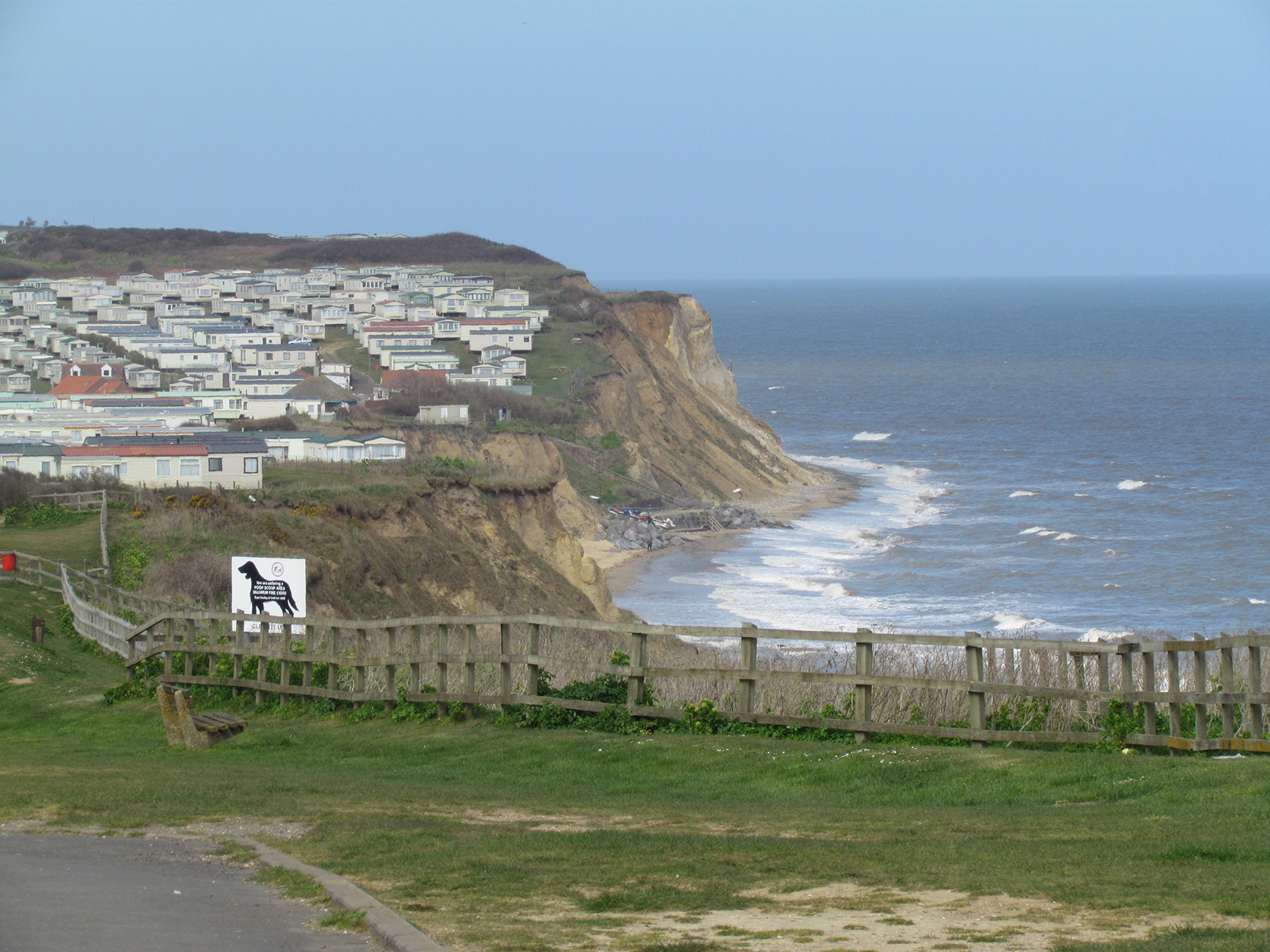
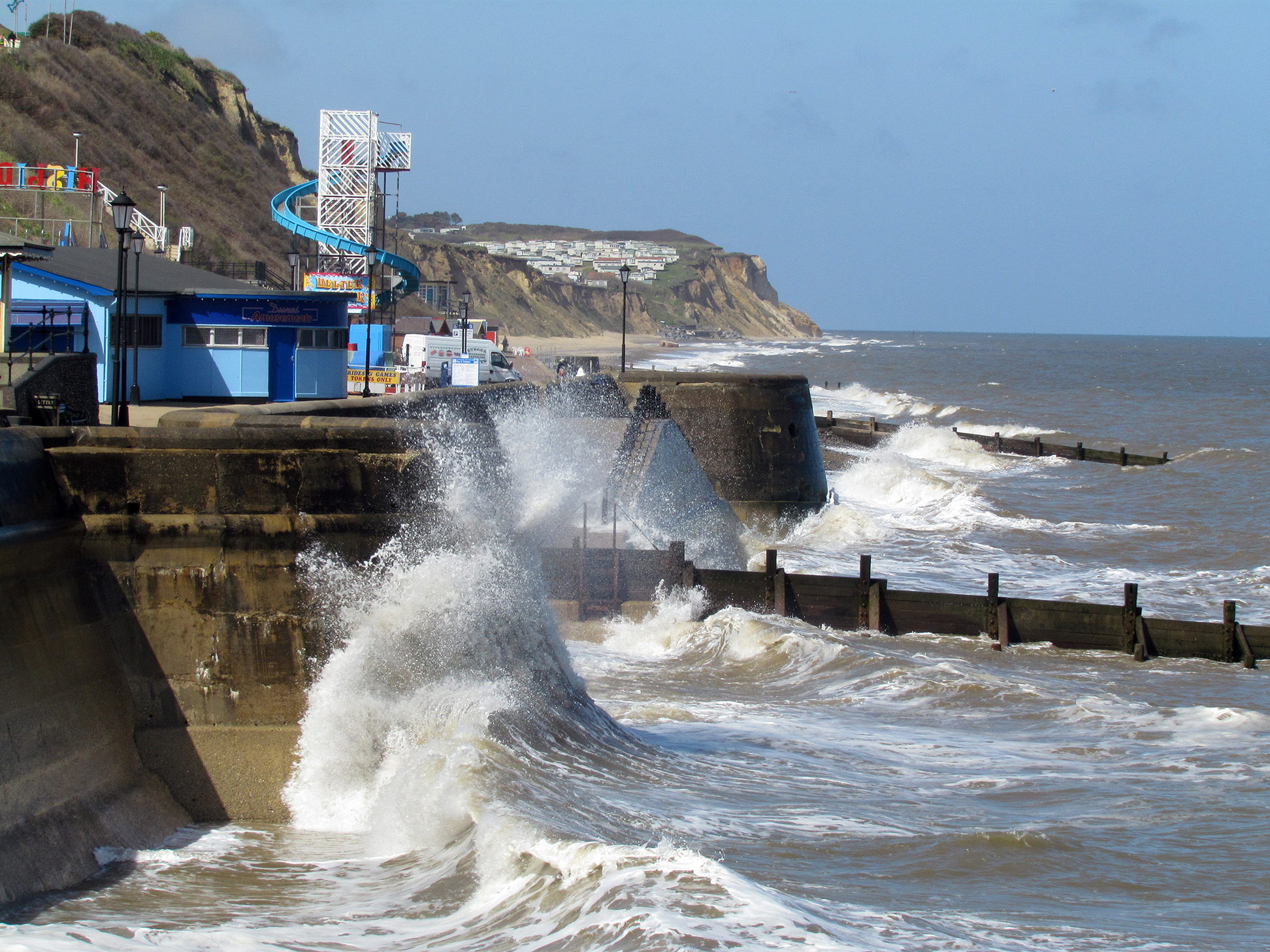
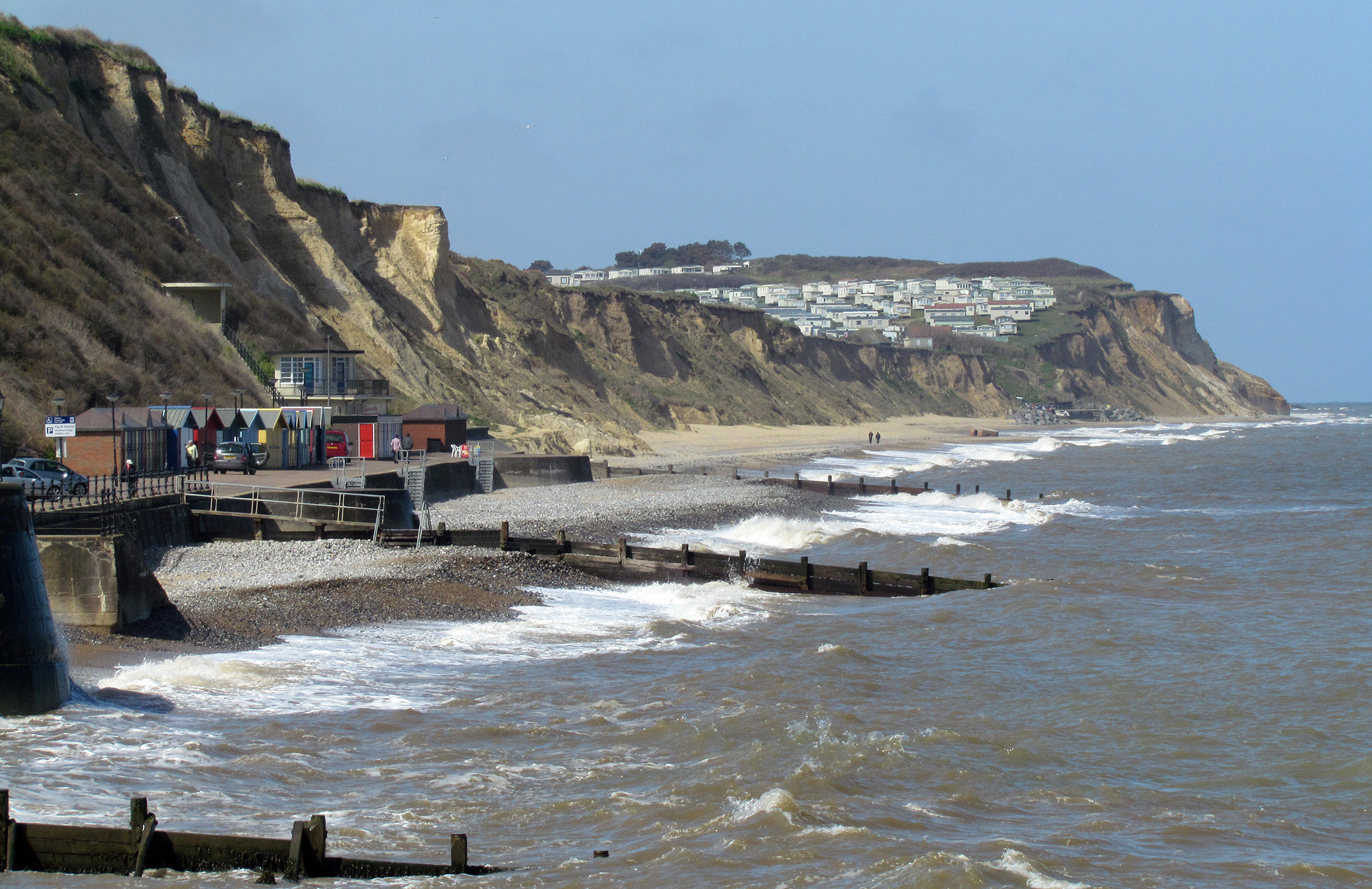
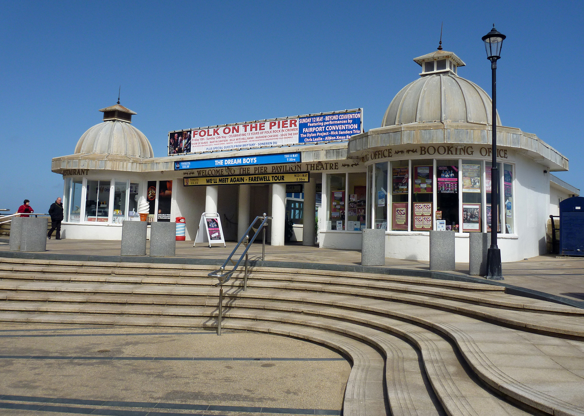
| Place name | CROMER |
| Parish | CROMER |
| District | |
| Country | ENGLAND |
| Easting / Northing | 621472, 342361 |
| Longitude / Latitude | 1.295798090815, 52.932569257503 |
| National Grid Reference | TG215424 |
Pins

Alan McFaden |
Saturday 1st of November 2014 09:18:56 AM |

User Comment Contributions
Cromer |
Alan McFaden |
Saturday 1st of November 2014 09:20:48 AM |
Cromer |
Alan McFaden |
Saturday 1st of November 2014 09:20:28 AM |
Cromer |
Alan McFaden |
Saturday 1st of November 2014 09:20:10 AM |
Cromer Pier |
Alan McFaden |
Saturday 1st of November 2014 09:19:40 AM |