
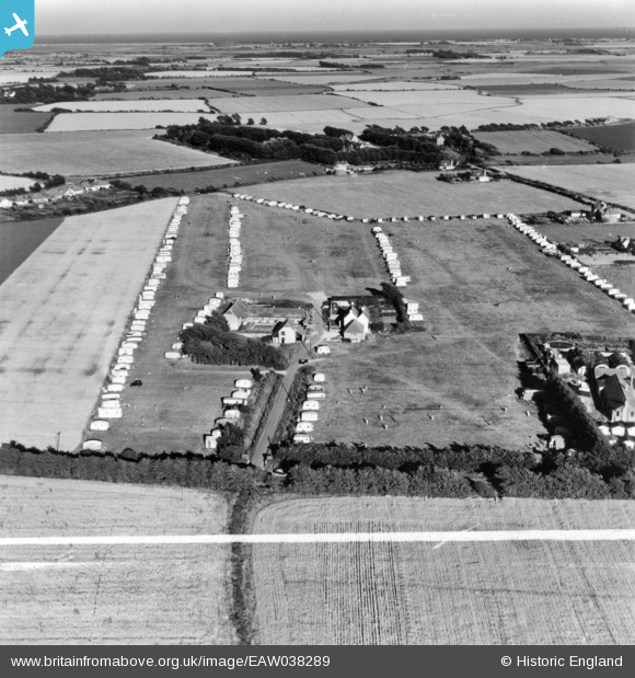
EAW038289 ENGLAND (1951). Holden's Farm Caravan Park, Bracklesham, 1951. This image has been produced from a print marked by Aerofilms Ltd for photo editing.
© Copyright OpenStreetMap contributors and licensed by the OpenStreetMap Foundation. 2025. Cartography is licensed as CC BY-SA.
Nearby Images (11)
EAW038289

EAW038296

EAW038292

EAW038291

EAW038286

EAW038288

EAW038295

EAW038290

EAW038287

EAW038294

EAW038293

Details
| Title | [EAW038289] Holden's Farm Caravan Park, Bracklesham, 1951. This image has been produced from a print marked by Aerofilms Ltd for photo editing. |
| Reference | EAW038289 |
| Date | 3-August-1951 |
| Link | |
| Place name | BRACKLESHAM |
| Parish | EAST WITTERING |
| District | |
| Country | ENGLAND |
| Easting / Northing | 480992, 97163 |
| Longitude / Latitude | -0.85136492919401, 50.767825603856 |
| National Grid Reference | SZ810972 |
Pins
Be the first to add a comment to this image!