
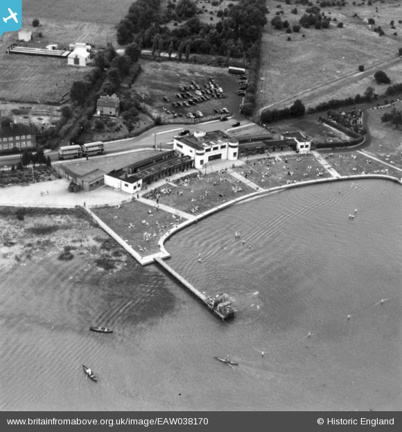
EAW038170 ENGLAND (1951). The Ruislip Lido, Ruislip, 1951. This image has been produced from a print.
© Copyright OpenStreetMap contributors and licensed by the OpenStreetMap Foundation. 2026. Cartography is licensed as CC BY-SA.
Nearby Images (5)
EAW038170

EAW038169

EAW014889

EAW038168

EAW038167

Details
| Title | [EAW038170] The Ruislip Lido, Ruislip, 1951. This image has been produced from a print. |
| Reference | EAW038170 |
| Date | 28-July-1951 |
| Link | |
| Place name | RUISLIP |
| Parish | |
| District | |
| Country | ENGLAND |
| Easting / Northing | 508674, 189155 |
| Longitude / Latitude | -0.4310831423669, 51.590279211072 |
| National Grid Reference | TQ087892 |
Pins
Be the first to add a comment to this image!