
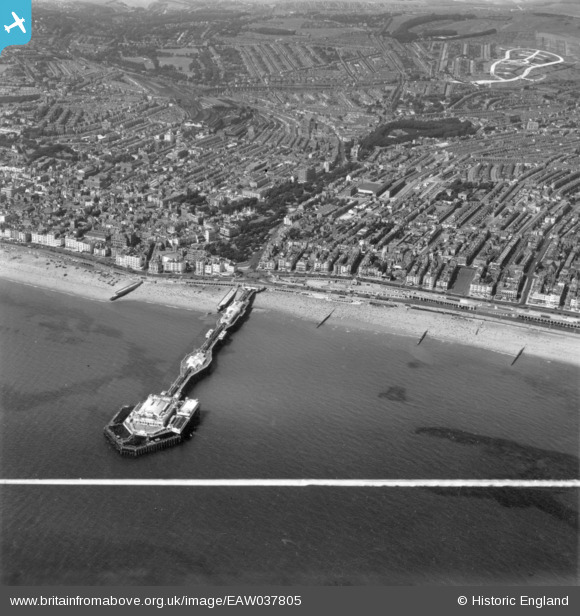
EAW037805 ENGLAND (1951). Palace Pier and environs, Brighton, from the south, 1951. This image has been produced from a print marked by Aerofilms Ltd for photo editing.
© Copyright OpenStreetMap contributors and licensed by the OpenStreetMap Foundation. 2026. Cartography is licensed as CC BY-SA.
Nearby Images (18)
EAW037805

EAW006602

EAW022679

EAW022248

EAW022257

EAW043164

EPW017736

EPW007513

EPW000513

EPW017744

EAW043166

EPW045508

EAW006603

EPW039541

EAW043165

EAW011023

EPW000219

EAW037806

Details
| Title | [EAW037805] Palace Pier and environs, Brighton, from the south, 1951. This image has been produced from a print marked by Aerofilms Ltd for photo editing. |
| Reference | EAW037805 |
| Date | 17-July-1951 |
| Link | |
| Place name | BRIGHTON |
| Parish | |
| District | |
| Country | ENGLAND |
| Easting / Northing | 531444, 103392 |
| Longitude / Latitude | -0.13394880352834, 50.814578992198 |
| National Grid Reference | TQ314034 |
Pins

Lydia |
Tuesday 8th of May 2018 03:54:16 PM |