
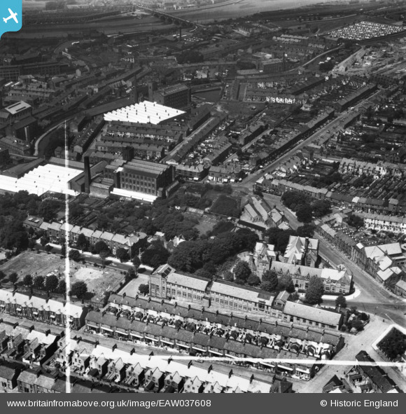
EAW037608 ENGLAND (1951). The Royal Grammar School and Freehold, Lancaster, 1951. This image has been produced from a print marked by Aerofilms Ltd for photo editing.
© Copyright OpenStreetMap contributors and licensed by the OpenStreetMap Foundation. 2026. Cartography is licensed as CC BY-SA.
Nearby Images (9)
EAW037608

EAW037610

EAW037611

EAW037612

EAW037609

EAW037607

EPW042036

EPW002088

EPW029180

Details
| Title | [EAW037608] The Royal Grammar School and Freehold, Lancaster, 1951. This image has been produced from a print marked by Aerofilms Ltd for photo editing. |
| Reference | EAW037608 |
| Date | 30-June-1951 |
| Link | |
| Place name | LANCASTER |
| Parish | |
| District | |
| Country | ENGLAND |
| Easting / Northing | 348275, 461636 |
| Longitude / Latitude | -2.7900891156104, 54.047905986565 |
| National Grid Reference | SD483616 |
Pins

Post-war prefabs |
Friday 22nd of November 2019 12:31:19 PM |