
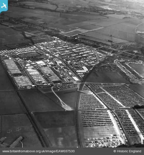
EAW037530 ENGLAND (1951). Trumpington, The Royal Agricultural Society of England Show, 1951. This image has been produced from a print.
© Copyright OpenStreetMap contributors and licensed by the OpenStreetMap Foundation. 2026. Cartography is licensed as CC BY-SA.
Nearby Images (4)
EAW037530

EAW037529

EAW037522

EAW037523

Details
| Title | [EAW037530] Trumpington, The Royal Agricultural Society of England Show, 1951. This image has been produced from a print. |
| Reference | EAW037530 |
| Date | 5-July-1951 |
| Link | |
| Place name | TRUMPINGTON |
| Parish | |
| District | |
| Country | ENGLAND |
| Easting / Northing | 545441, 254855 |
| Longitude / Latitude | 0.12707278187862, 52.172355198435 |
| National Grid Reference | TL454549 |
Pins

Matt Aldred edob.mattaldred.com |
Monday 11th of March 2024 04:41:20 PM |