
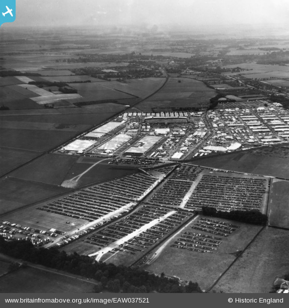
EAW037521 ENGLAND (1951). Trumpington, The Royal Agricultural Society of England Show, from the north-west, 1951. This image has been produced from a print.
© Copyright OpenStreetMap contributors and licensed by the OpenStreetMap Foundation. 2026. Cartography is licensed as CC BY-SA.
Nearby Images (2)
EAW037521

EAW037520

Details
| Title | [EAW037521] Trumpington, The Royal Agricultural Society of England Show, from the north-west, 1951. This image has been produced from a print. |
| Reference | EAW037521 |
| Date | 5-July-1951 |
| Link | |
| Place name | TRUMPINGTON |
| Parish | |
| District | |
| Country | ENGLAND |
| Easting / Northing | 545330, 255382 |
| Longitude / Latitude | 0.12567641689355, 52.177119689565 |
| National Grid Reference | TL453554 |
Pins
Be the first to add a comment to this image!