
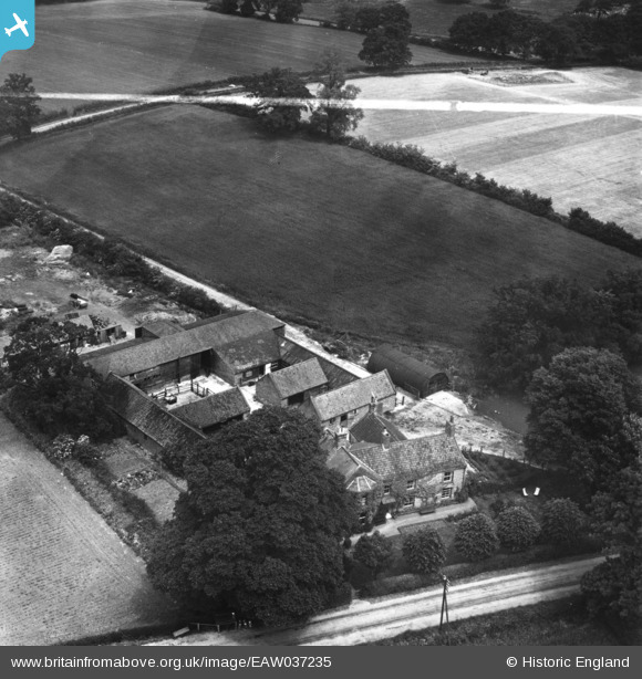
EAW037235 ENGLAND (1951). Hall Farm, Ditchingham, 1951. This image has been produced from a print marked by Aerofilms Ltd for photo editing.
© Copyright OpenStreetMap contributors and licensed by the OpenStreetMap Foundation. 2026. Cartography is licensed as CC BY-SA.
Nearby Images (8)
EAW037235

EAW037240

EAW037241

EAW037237

EAW037236

EAW037244

EAW037242

EAW037239

Details
| Title | [EAW037235] Hall Farm, Ditchingham, 1951. This image has been produced from a print marked by Aerofilms Ltd for photo editing. |
| Reference | EAW037235 |
| Date | 21-June-1951 |
| Link | |
| Place name | DITCHINGHAM |
| Parish | DITCHINGHAM |
| District | |
| Country | ENGLAND |
| Easting / Northing | 632590, 292144 |
| Longitude / Latitude | 1.4254170260993, 52.477200670942 |
| National Grid Reference | TM326921 |
Pins
Be the first to add a comment to this image!