
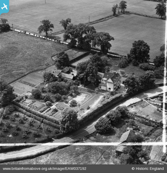
EAW037192 ENGLAND (1951). The Chantry, Old Harlow, 1951. This image has been produced from a print marked by Aerofilms Ltd for photo editing.
© Copyright OpenStreetMap contributors and licensed by the OpenStreetMap Foundation. 2025. Cartography is licensed as CC BY-SA.
Nearby Images (8)
EAW037192

EAW037188

EAW037190

EAW037187

EAW037193

EAW037194

EAW037191

EAW037189

Details
| Title | [EAW037192] The Chantry, Old Harlow, 1951. This image has been produced from a print marked by Aerofilms Ltd for photo editing. |
| Reference | EAW037192 |
| Date | 13-June-1951 |
| Link | |
| Place name | OLD HARLOW |
| Parish | |
| District | |
| Country | ENGLAND |
| Easting / Northing | 548429, 211315 |
| Longitude / Latitude | 0.1519047721836, 51.780336283237 |
| National Grid Reference | TL484113 |
Pins
Be the first to add a comment to this image!