
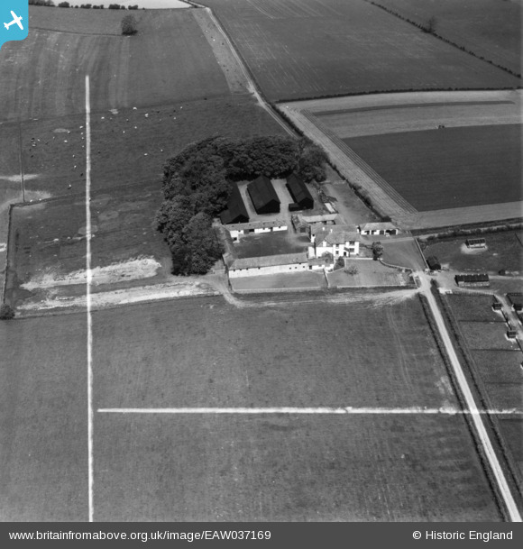
EAW037169 ENGLAND (1951). Sewborwens Farm, Newton Rigg, 1951. This image has been produced from a print marked by Aerofilms Ltd for photo editing.
© Copyright OpenStreetMap contributors and licensed by the OpenStreetMap Foundation. 2025. Cartography is licensed as CC BY-SA.
Nearby Images (4)
EAW037169

EAW037171

EAW037170

EAW037174

Details
| Title | [EAW037169] Sewborwens Farm, Newton Rigg, 1951. This image has been produced from a print marked by Aerofilms Ltd for photo editing. |
| Reference | EAW037169 |
| Date | 5-June-1951 |
| Link | |
| Place name | NEWTON RIGG |
| Parish | CATTERLEN |
| District | |
| Country | ENGLAND |
| Easting / Northing | 349158, 530220 |
| Longitude / Latitude | -2.7883157143707, 54.664381441309 |
| National Grid Reference | NY492302 |
Pins
Be the first to add a comment to this image!