
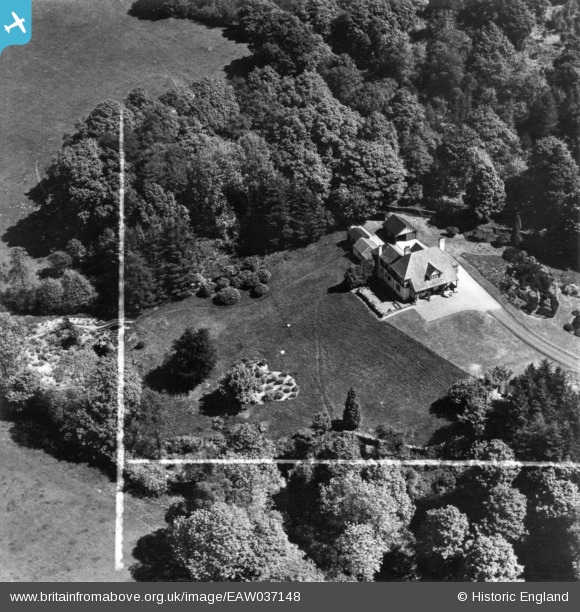
EAW037148 ENGLAND (1951). Righting House, Far Sawrey, 1951. This image has been produced from a print marked by Aerofilms Ltd for photo editing.
© Copyright OpenStreetMap contributors and licensed by the OpenStreetMap Foundation. 2026. Cartography is licensed as CC BY-SA.
Nearby Images (16)
EAW037148

EAW037151

EAW037149

EAW035895

EAW035892

EAW037150

EAW035894

EAW035893

EAW037160

EAW037158

EAW037161

EAW035886

EAW035883

EAW037162

EAW035885

EAW037159

Details
| Title | [EAW037148] Righting House, Far Sawrey, 1951. This image has been produced from a print marked by Aerofilms Ltd for photo editing. |
| Reference | EAW037148 |
| Date | 5-June-1951 |
| Link | |
| Place name | FAR SAWREY |
| Parish | CLAIFE |
| District | |
| Country | ENGLAND |
| Easting / Northing | 337430, 496197 |
| Longitude / Latitude | -2.9629165209552, 54.357308576739 |
| National Grid Reference | SD374962 |
Pins

Peter Hoggarth |
Saturday 28th of November 2015 12:15:06 PM |