
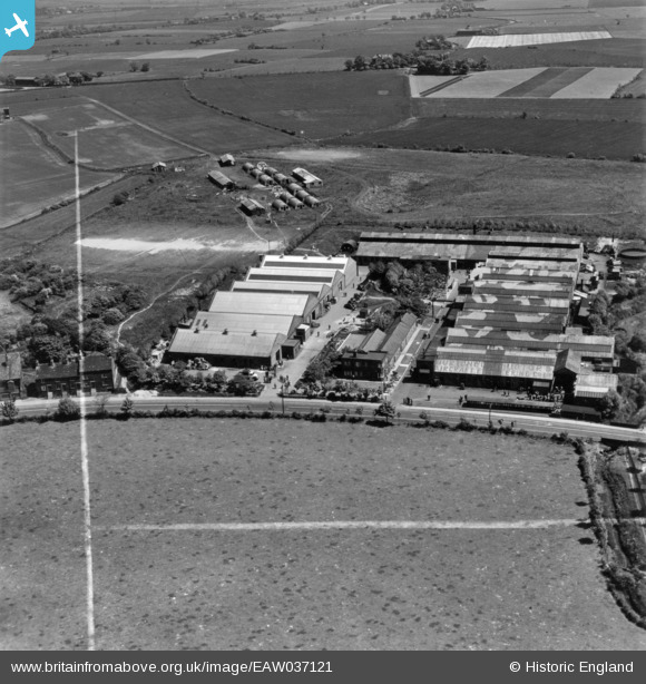
EAW037121 ENGLAND (1951). The Burtonwood Engineering Co Works, Burtonwood, 1951. This image has been produced from a print marked by Aerofilms Ltd for photo editing.
© Copyright OpenStreetMap contributors and licensed by the OpenStreetMap Foundation. 2026. Cartography is licensed as CC BY-SA.
Nearby Images (10)
EAW037121

EAW037120

EAW037126

EAW037122

EAW012305

EAW037127

EAW037128

EAW037124

EAW037123

EAW037125

Details
| Title | [EAW037121] The Burtonwood Engineering Co Works, Burtonwood, 1951. This image has been produced from a print marked by Aerofilms Ltd for photo editing. |
| Reference | EAW037121 |
| Date | 5-July-1951 |
| Link | |
| Place name | BURTONWOOD |
| Parish | BURTONWOOD AND WESTBROOK |
| District | |
| Country | ENGLAND |
| Easting / Northing | 356452, 393068 |
| Longitude / Latitude | -2.65553485008, 53.432337970829 |
| National Grid Reference | SJ565931 |
Pins

Billy Turner |
Tuesday 3rd of January 2017 07:24:45 PM |
