
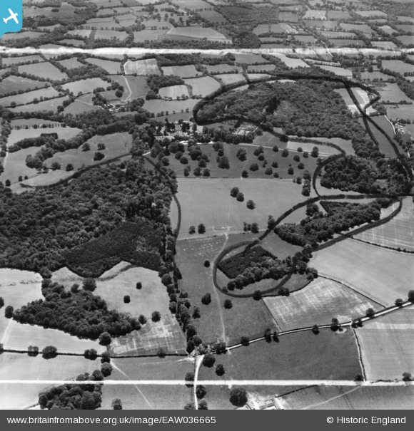
EAW036665 ENGLAND (1951). Sedgwick Park, Nuthurst, 1951. This image has been produced from a print marked by Aerofilms Ltd for photo editing.
© Copyright OpenStreetMap contributors and licensed by the OpenStreetMap Foundation. 2025. Cartography is licensed as CC BY-SA.
Nearby Images (3)
EAW036665

EAW036664

EAW036663

Details
| Title | [EAW036665] Sedgwick Park, Nuthurst, 1951. This image has been produced from a print marked by Aerofilms Ltd for photo editing. |
| Reference | EAW036665 |
| Date | 1-June-1951 |
| Link | |
| Place name | NUTHURST |
| Parish | NUTHURST |
| District | |
| Country | ENGLAND |
| Easting / Northing | 518444, 127111 |
| Longitude / Latitude | -0.31070813482456, 51.030606111893 |
| National Grid Reference | TQ184271 |
Pins
Be the first to add a comment to this image!