
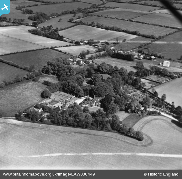
EAW036449 ENGLAND (1951). Bighton Manor and the village, Bighton, 1951. This image has been produced from a print marked by Aerofilms Ltd for photo editing.
© Copyright OpenStreetMap contributors and licensed by the OpenStreetMap Foundation. 2026. Cartography is licensed as CC BY-SA.
Nearby Images (6)
EAW036449

EAW036451

EAW036453

EAW036452

EAW036450

EAW036448

Details
| Title | [EAW036449] Bighton Manor and the village, Bighton, 1951. This image has been produced from a print marked by Aerofilms Ltd for photo editing. |
| Reference | EAW036449 |
| Date | 31-May-1951 |
| Link | |
| Place name | BIGHTON |
| Parish | BIGHTON |
| District | |
| Country | ENGLAND |
| Easting / Northing | 461052, 134477 |
| Longitude / Latitude | -1.1278609678021, 51.105807616593 |
| National Grid Reference | SU611345 |
