
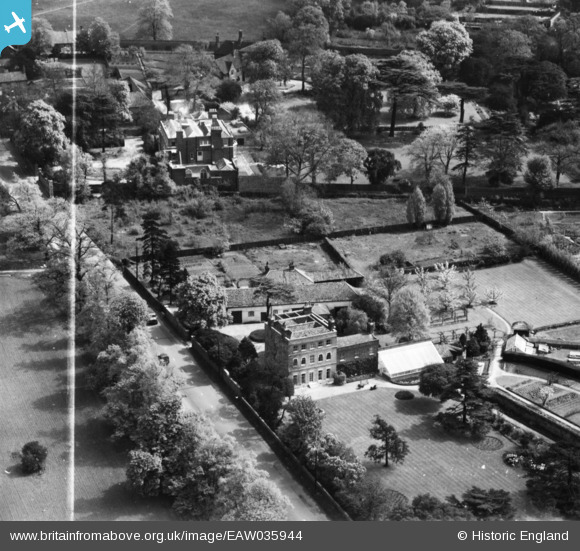
EAW035944 ENGLAND (1951). Brook House, Chigwell, 1951. This image has been produced from a print marked by Aerofilms Ltd for photo editing.
© Copyright OpenStreetMap contributors and licensed by the OpenStreetMap Foundation. 2026. Cartography is licensed as CC BY-SA.
Nearby Images (5)
EAW035944

EAW035942

EAW035943

EAW035945

EAW035946

Details
| Title | [EAW035944] Brook House, Chigwell, 1951. This image has been produced from a print marked by Aerofilms Ltd for photo editing. |
| Reference | EAW035944 |
| Date | 18-May-1951 |
| Link | |
| Place name | CHIGWELL |
| Parish | CHIGWELL |
| District | |
| Country | ENGLAND |
| Easting / Northing | 544062, 193616 |
| Longitude / Latitude | 0.081325221268556, 51.622430269467 |
| National Grid Reference | TQ441936 |
Pins
Be the first to add a comment to this image!