
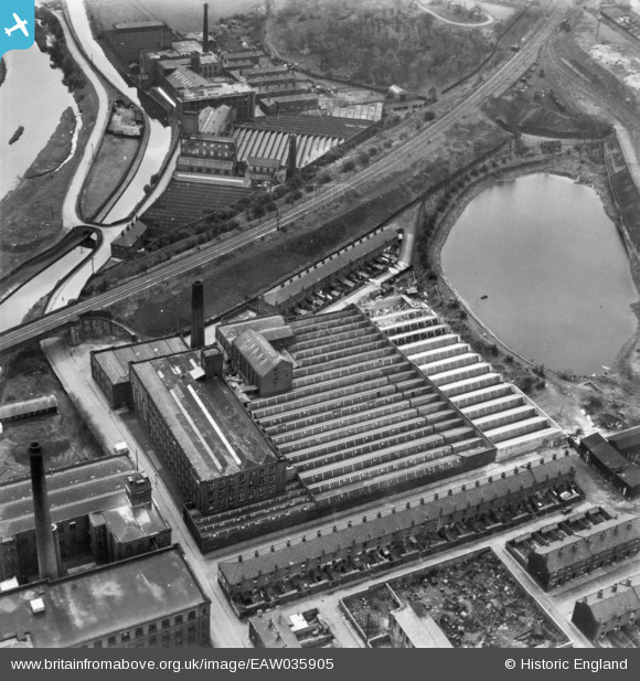
EAW035905 ENGLAND (1951). Wellington Mill, Bury, 1951. This image has been produced from a print.
© Copyright OpenStreetMap contributors and licensed by the OpenStreetMap Foundation. 2026. Cartography is licensed as CC BY-SA.
Nearby Images (10)
EAW035905

EAW035908

EAW035907

EAW035904

EAW035906

EAW035909

EPW047490

EPW047491

EPW042024

EPW047492

Details
| Title | [EAW035905] Wellington Mill, Bury, 1951. This image has been produced from a print. |
| Reference | EAW035905 |
| Date | 12-May-1951 |
| Link | |
| Place name | BURY |
| Parish | |
| District | |
| Country | ENGLAND |
| Easting / Northing | 379420, 410376 |
| Longitude / Latitude | -2.3109393864738, 53.589321958243 |
| National Grid Reference | SD794104 |
Pins
Be the first to add a comment to this image!