
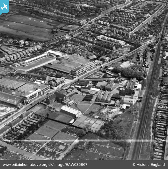
EAW035867 ENGLAND (1951). The Ronuk Ltd Sanitary Polish Factory and environs, Portslade-By-Sea, 1951. This image has been produced from a print marked by Aerofilms Ltd for photo editing.
© Copyright OpenStreetMap contributors and licensed by the OpenStreetMap Foundation. 2026. Cartography is licensed as CC BY-SA.
Nearby Images (19)
EAW035867

EPW037258

EPW052961

EPW052964

EPW052966

EAW035868

EPW052958

EPW052959

EPW052962

EPW052965

EPW037257

EAW035865

EAW035870

EPW037256

EAW035872

EAW035869

EAW035871

EAW035866

EPW043890

Details
| Title | [EAW035867] The Ronuk Ltd Sanitary Polish Factory and environs, Portslade-By-Sea, 1951. This image has been produced from a print marked by Aerofilms Ltd for photo editing. |
| Reference | EAW035867 |
| Date | 17-May-1951 |
| Link | |
| Place name | PORTSLADE-BY-SEA |
| Parish | |
| District | |
| Country | ENGLAND |
| Easting / Northing | 526126, 105618 |
| Longitude / Latitude | -0.2086400390041, 50.835771607346 |
| National Grid Reference | TQ261056 |
Pins
Be the first to add a comment to this image!