
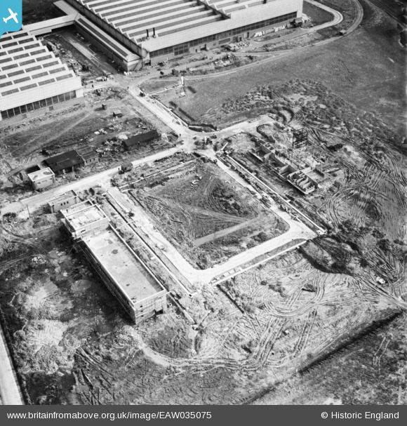
EAW035075 ENGLAND (1951). The Midland Rollmakers Ltd Works under construction, Crewe, 1951
© Copyright OpenStreetMap contributors and licensed by the OpenStreetMap Foundation. 2026. Cartography is licensed as CC BY-SA.
Nearby Images (29)
EAW035075

EAW035074

EAW035072

EAW035069

EAW035073

EAW035064

EAW028246

EAW035066

EAW028249

EAW017283

EAW035063

EAW035067

EAW035061

EAW021632
, Crewe, 1949. This image has been produced from a damaged negative.")
EAW017284

EAW035062

EAW021630

EAW035065

EAW021633

EAW021631
 and the surrounding area, Crewe, 1949. This image has been produced from a damaged negative.")
EAW017285

EAW028248

EAW017289

EAW021634

EAW028247

EAW028252

EAW028250

EAW017290

EAW017286

Details
| Title | [EAW035075] The Midland Rollmakers Ltd Works under construction, Crewe, 1951 |
| Reference | EAW035075 |
| Date | 20-March-1951 |
| Link | |
| Place name | CREWE |
| Parish | |
| District | |
| Country | ENGLAND |
| Easting / Northing | 371433, 354363 |
| Longitude / Latitude | -2.4265563530162, 53.08542118431 |
| National Grid Reference | SJ714544 |
Pins
Be the first to add a comment to this image!