
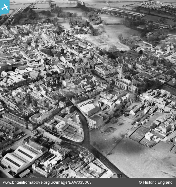
EAW035003 ENGLAND (1951). St Denys Church and the town centre, Sleaford, 1951
© Copyright OpenStreetMap contributors and licensed by the OpenStreetMap Foundation. 2026. Cartography is licensed as CC BY-SA.
Nearby Images (6)
EAW035003

EPW016183

EPW016184

EPW013045

EAW035004

EAW035002

Details
| Title | [EAW035003] St Denys Church and the town centre, Sleaford, 1951 |
| Reference | EAW035003 |
| Date | 20-March-1951 |
| Link | |
| Place name | SLEAFORD |
| Parish | SLEAFORD |
| District | |
| Country | ENGLAND |
| Easting / Northing | 506876, 345808 |
| Longitude / Latitude | -0.40730074063447, 52.998608380883 |
| National Grid Reference | TF069458 |
Pins

mike |
Thursday 25th of February 2021 08:25:14 PM |