
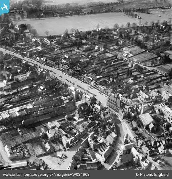
EAW034903 ENGLAND (1951). The High Street and town, Marlborough, 1951
© Copyright OpenStreetMap contributors and licensed by the OpenStreetMap Foundation. 2026. Cartography is licensed as CC BY-SA.
Nearby Images (6)
EAW034903

EPW011124

EAW034901

EAW034902

EPW011126

EAW034900

Details
| Title | [EAW034903] The High Street and town, Marlborough, 1951 |
| Reference | EAW034903 |
| Date | 12-March-1951 |
| Link | |
| Place name | MARLBOROUGH |
| Parish | MARLBOROUGH |
| District | |
| Country | ENGLAND |
| Easting / Northing | 418795, 169129 |
| Longitude / Latitude | -1.7296730030949, 51.420369244003 |
| National Grid Reference | SU188691 |
Pins
Be the first to add a comment to this image!
User Comment Contributions
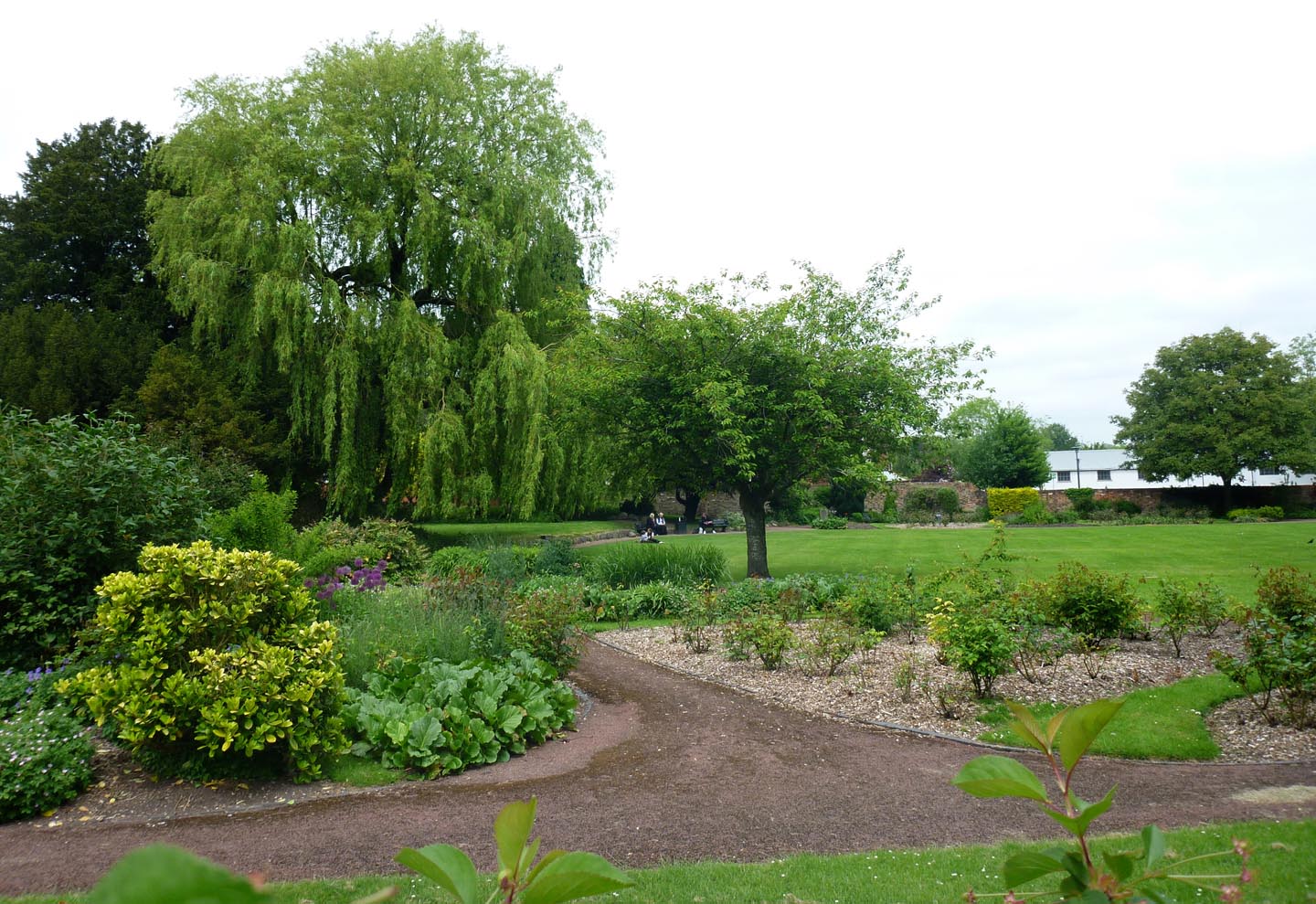
Marlborough Priory Gardens |

Alan McFaden |
Tuesday 25th of November 2014 05:30:08 PM |
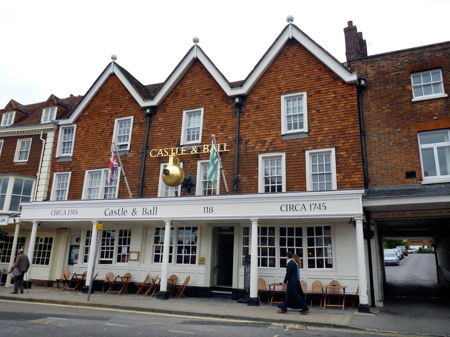
Marlborough Castle and Ball PH |
Alan McFaden |
Tuesday 25th of November 2014 05:29:35 PM |
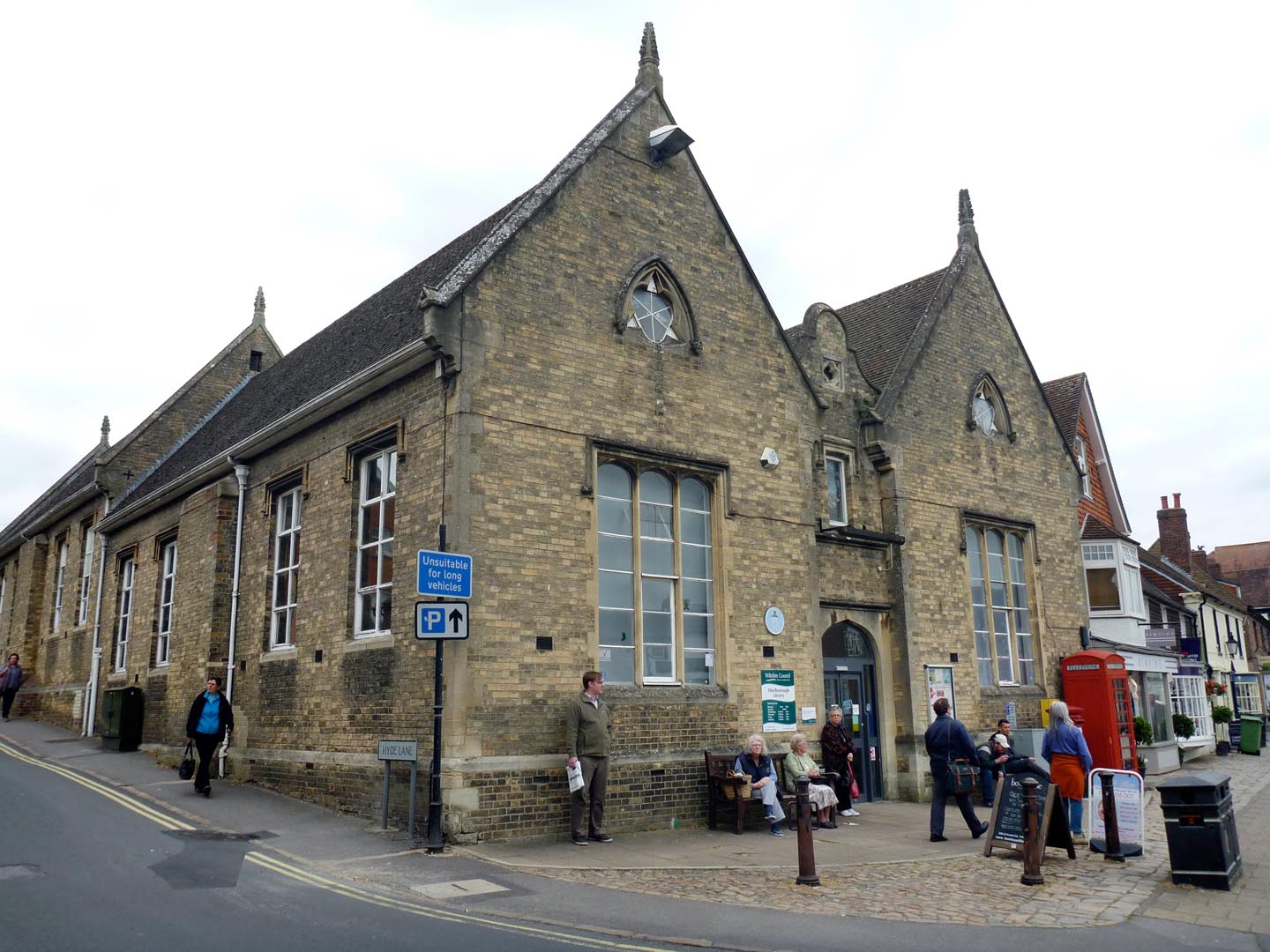
Marlborough Library |
Alan McFaden |
Tuesday 25th of November 2014 05:29:06 PM |
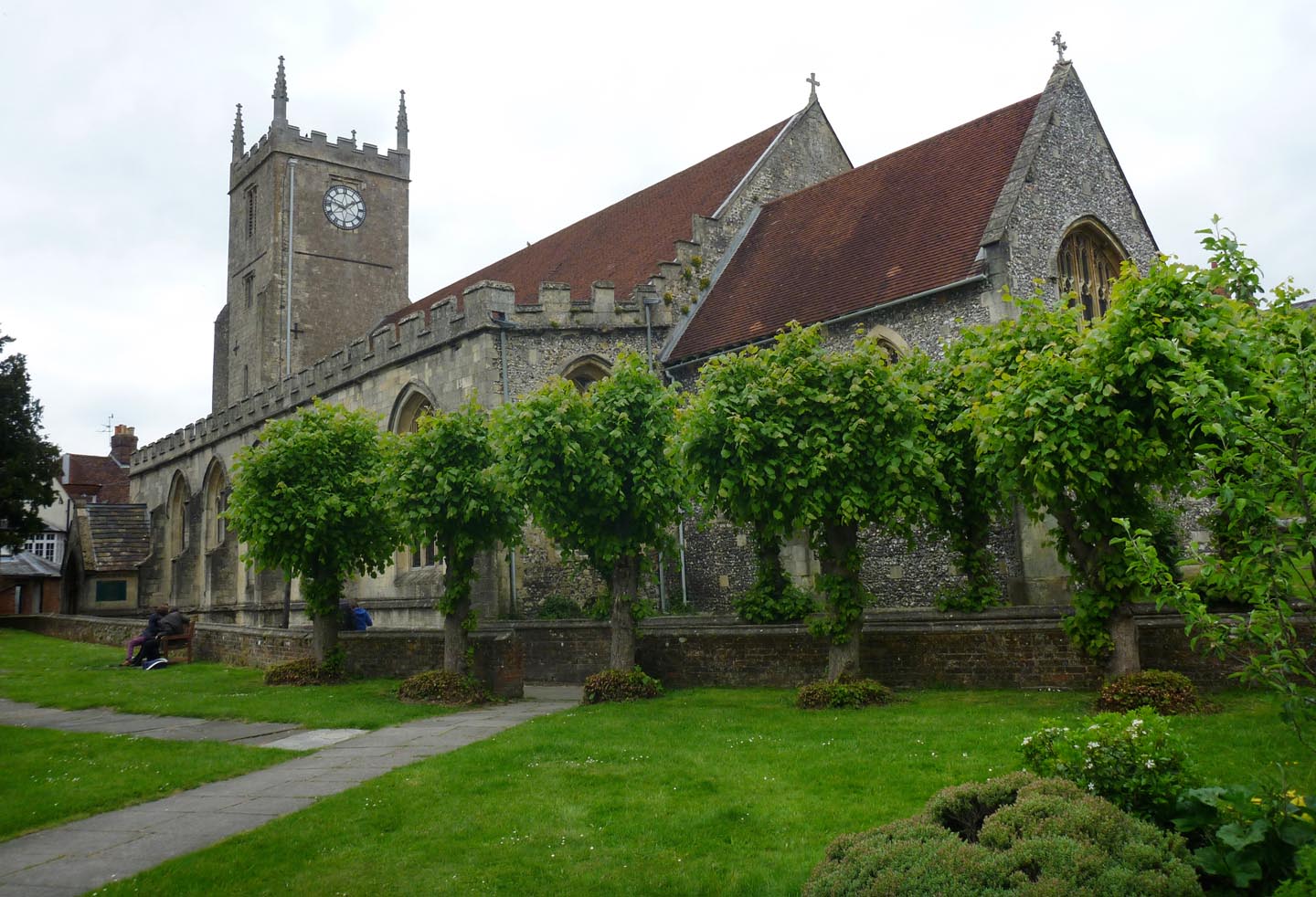
Marlborough Saint Mary's Church |
Alan McFaden |
Tuesday 25th of November 2014 05:28:39 PM |

Marlborough |
Alan McFaden |
Tuesday 25th of November 2014 05:28:07 PM |
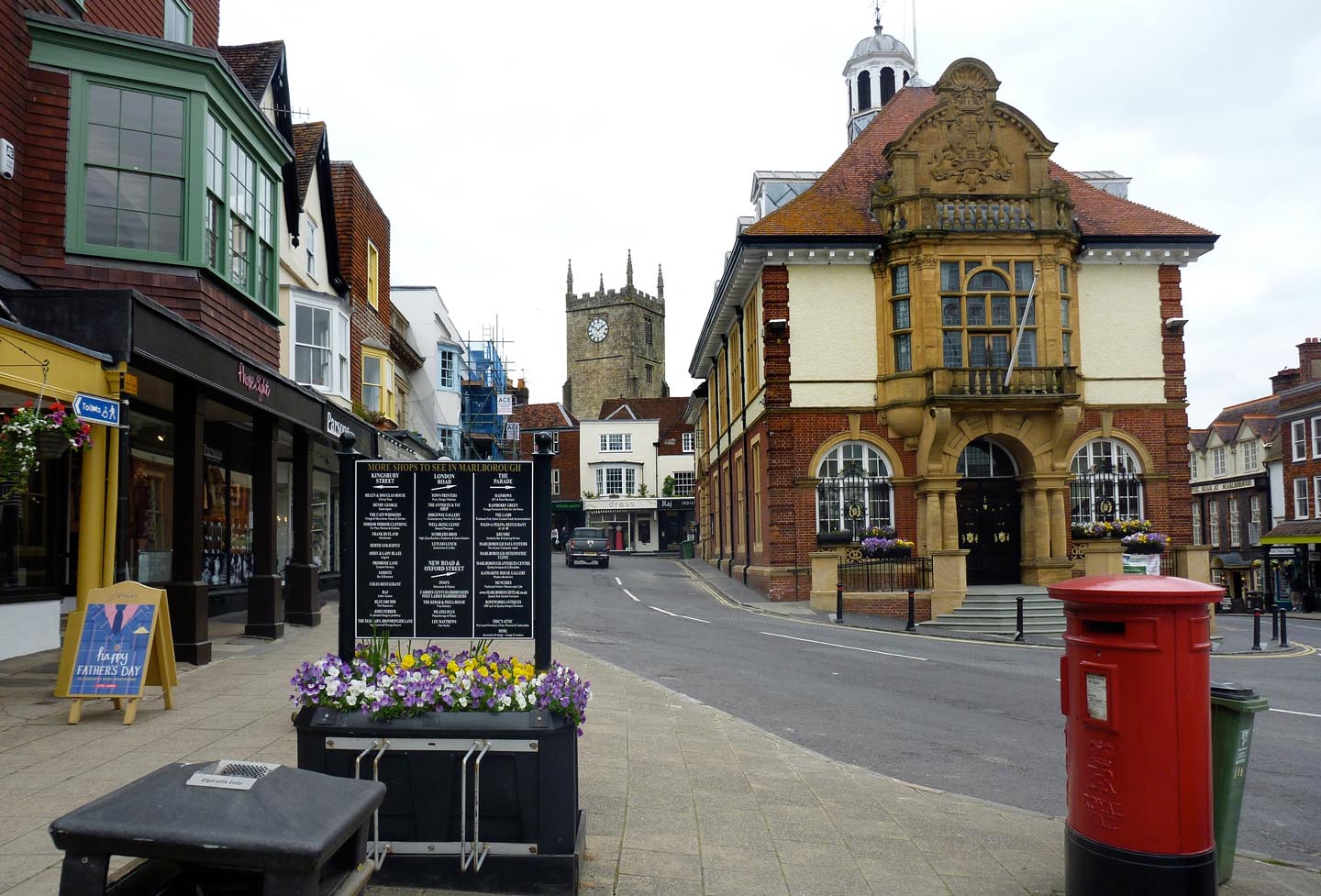
Marlborough |
Alan McFaden |
Tuesday 25th of November 2014 05:27:39 PM |