
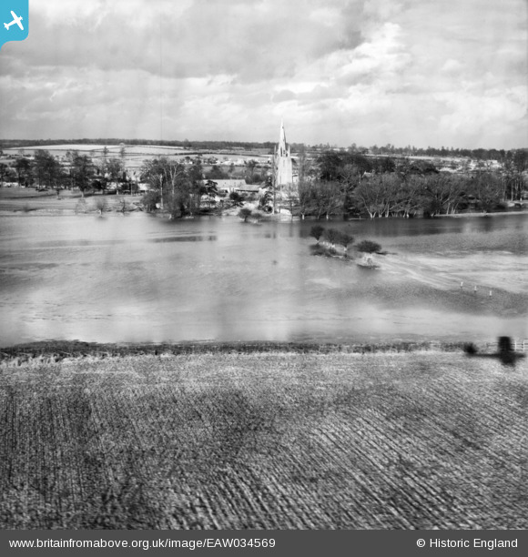
EAW034569 ENGLAND (1951). The River Great Ouse in flood, Harrold, from the south, 1951
© Copyright OpenStreetMap contributors and licensed by the OpenStreetMap Foundation. 2025. Cartography is licensed as CC BY-SA.
Nearby Images (2)
EAW034569

EAW034570

Details
| Title | [EAW034569] The River Great Ouse in flood, Harrold, from the south, 1951 |
| Reference | EAW034569 |
| Date | 6-March-1951 |
| Link | |
| Place name | HARROLD |
| Parish | HARROLD |
| District | |
| Country | ENGLAND |
| Easting / Northing | 495371, 256549 |
| Longitude / Latitude | -0.60442670567257, 52.198511334899 |
| National Grid Reference | SP954565 |
Pins
Be the first to add a comment to this image!