
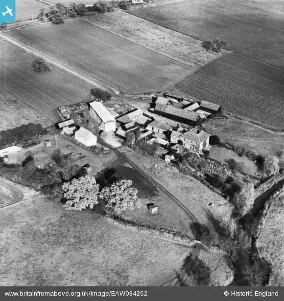
EAW034262 ENGLAND (1950). Mitchells Farm, Stanford Rivers, 1950. This image has been produced from a print.
© Copyright OpenStreetMap contributors and licensed by the OpenStreetMap Foundation. 2025. Cartography is licensed as CC BY-SA.
Nearby Images (3)
EAW034262

EAW034263

EAW034264

Details
| Title | [EAW034262] Mitchells Farm, Stanford Rivers, 1950. This image has been produced from a print. |
| Reference | EAW034262 |
| Date | 14-November-1950 |
| Link | |
| Place name | STANFORD RIVERS |
| Parish | STANFORD RIVERS |
| District | |
| Country | ENGLAND |
| Easting / Northing | 551679, 198103 |
| Longitude / Latitude | 0.19323191757213, 51.66074754698 |
| National Grid Reference | TQ517981 |
Pins
Be the first to add a comment to this image!