
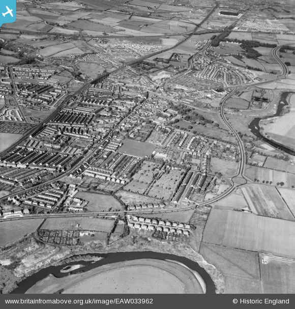
EAW033962 ENGLAND (1950). The town, Chester-Le-Street, 1950
© Copyright OpenStreetMap contributors and licensed by the OpenStreetMap Foundation. 2026. Cartography is licensed as CC BY-SA.
Nearby Images (2)
EAW033962

EAW033961

Details
| Title | [EAW033962] The town, Chester-Le-Street, 1950 |
| Reference | EAW033962 |
| Date | 19-October-1950 |
| Link | |
| Place name | CHESTER-LE-STREET |
| Parish | |
| District | |
| Country | ENGLAND |
| Easting / Northing | 427668, 550964 |
| Longitude / Latitude | -1.5690099779882, 54.852619464156 |
| National Grid Reference | NZ277510 |
