
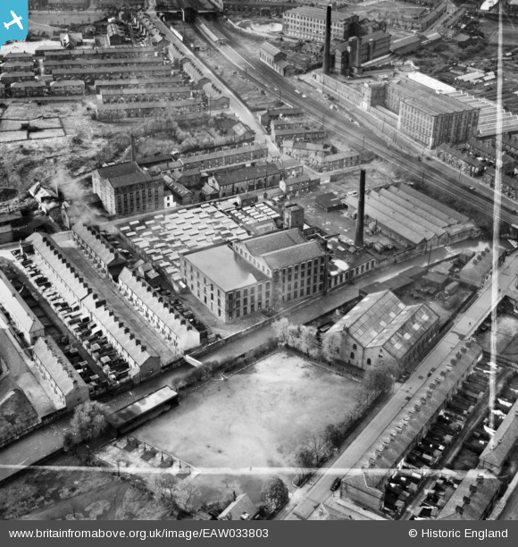
EAW033803 ENGLAND (1950). Cardwell Mill, Mill Hill, 1950. This image was marked by Aerofilms Ltd for photo editing.
© Copyright OpenStreetMap contributors and licensed by the OpenStreetMap Foundation. 2026. Cartography is licensed as CC BY-SA.
Nearby Images (13)
EAW033803

EAW033805

EAW033804

EAW033806

EAW033812

EAW033811

EAW033810

EAW033808

EAW033809

EAW033807

EPW013920

EAW033823

EAW033819

Details
| Title | [EAW033803] Cardwell Mill, Mill Hill, 1950. This image was marked by Aerofilms Ltd for photo editing. |
| Reference | EAW033803 |
| Date | 16-October-1950 |
| Link | |
| Place name | MILL HILL |
| Parish | |
| District | |
| Country | ENGLAND |
| Easting / Northing | 367382, 426708 |
| Longitude / Latitude | -2.4945288392473, 53.735517566141 |
| National Grid Reference | SD674267 |
