
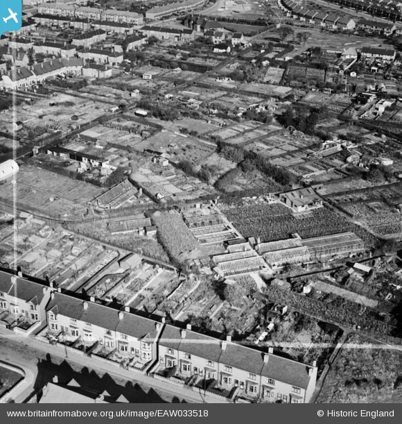
EAW033518 ENGLAND (1950). G.W. and A.E. Bott Nursery, Stoke Heath, 1950. This image was marked by Aerofilms Ltd for photo editing.
© Copyright OpenStreetMap contributors and licensed by the OpenStreetMap Foundation. 2026. Cartography is licensed as CC BY-SA.
Nearby Images (16)
EAW033518

EAW027714

EAW033514

EAW027715

EAW027713

EAW033519

EAW027708

EAW027709

EAW033513

EAW033516

EAW027707

EAW027710

EAW033517

EAW027712

EAW027711

EAW033515

Details
| Title | [EAW033518] G.W. and A.E. Bott Nursery, Stoke Heath, 1950. This image was marked by Aerofilms Ltd for photo editing. |
| Reference | EAW033518 |
| Date | 11-October-1950 |
| Link | |
| Place name | STOKE HEATH |
| Parish | |
| District | |
| Country | ENGLAND |
| Easting / Northing | 435692, 280640 |
| Longitude / Latitude | -1.4750870684248, 52.422207245894 |
| National Grid Reference | SP357806 |
Pins
Be the first to add a comment to this image!