
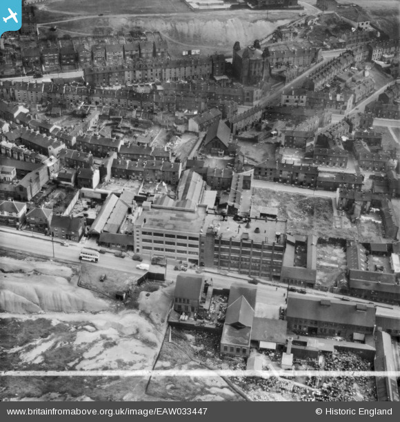
EAW033447 ENGLAND (1950). The Stanley Tool Works on Rutland Road and environs, Sheffield, 1950. This image was marked by Aerofilms Ltd for photo editing.
© Copyright OpenStreetMap contributors and licensed by the OpenStreetMap Foundation. 2026. Cartography is licensed as CC BY-SA.
Nearby Images (8)
EAW033447

EAW033446

EAW033451

EAW033450

EAW033448

EAW033449

EAW033445

EAW033444

Details
| Title | [EAW033447] The Stanley Tool Works on Rutland Road and environs, Sheffield, 1950. This image was marked by Aerofilms Ltd for photo editing. |
| Reference | EAW033447 |
| Date | 12-October-1950 |
| Link | |
| Place name | SHEFFIELD |
| Parish | |
| District | |
| Country | ENGLAND |
| Easting / Northing | 435263, 388923 |
| Longitude / Latitude | -1.4696377507518, 53.395696997498 |
| National Grid Reference | SK353889 |
Pins

redmist |
Wednesday 10th of October 2018 11:12:01 PM |