
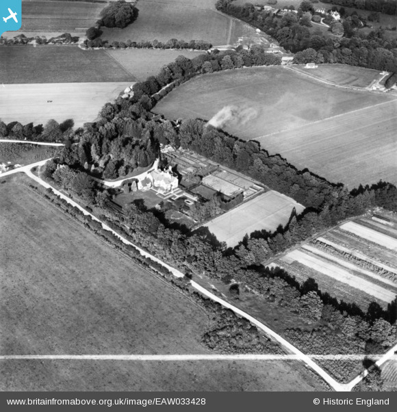
EAW033428 ENGLAND (1950). Ober House, Brockenhurst, 1950. This image has been produced from a print marked by Aerofilms Ltd for photo editing.
© Copyright OpenStreetMap contributors and licensed by the OpenStreetMap Foundation. 2026. Cartography is licensed as CC BY-SA.
Nearby Images (7)
EAW033428

EAW033425

EAW033422

EAW033426

EAW033423

EAW033424

EAW033427
, Brockenhurst, 1950. This image has been produced from a damaged negative.")
Details
| Title | [EAW033428] Ober House, Brockenhurst, 1950. This image has been produced from a print marked by Aerofilms Ltd for photo editing. |
| Reference | EAW033428 |
| Date | 10-October-1950 |
| Link | |
| Place name | BROCKENHURST |
| Parish | BROCKENHURST |
| District | |
| Country | ENGLAND |
| Easting / Northing | 428531, 102487 |
| Longitude / Latitude | -1.5949193453706, 50.820660275455 |
| National Grid Reference | SU285025 |
Pins
Be the first to add a comment to this image!