
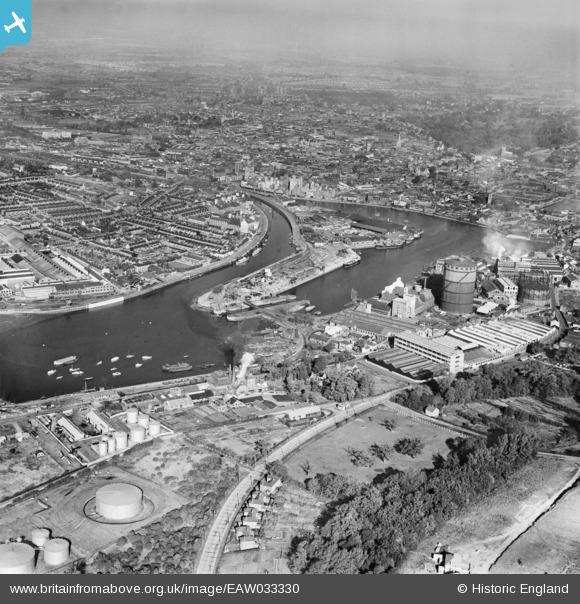
EAW033330 ENGLAND (1950). Ipswich Dock, New Cut and the town, Ipswich, from the south-east, 1950
© Copyright OpenStreetMap contributors and licensed by the OpenStreetMap Foundation. 2026. Cartography is licensed as CC BY-SA.
Nearby Images (10)
EAW033330

EPW058771

EPW058773

EPW058770

EPW058772

EPW032850

EPW032835

EPW001825

EPW032841

EAW025121

Details
| Title | [EAW033330] Ipswich Dock, New Cut and the town, Ipswich, from the south-east, 1950 |
| Reference | EAW033330 |
| Date | 5-October-1950 |
| Link | |
| Place name | IPSWICH |
| Parish | |
| District | |
| Country | ENGLAND |
| Easting / Northing | 617158, 243142 |
| Longitude / Latitude | 1.1670141132769, 52.043645184216 |
| National Grid Reference | TM172431 |
Pins
Be the first to add a comment to this image!