
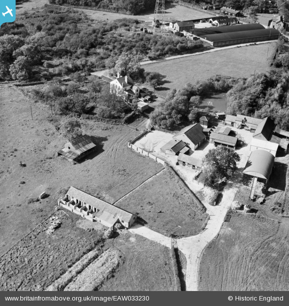
EAW033230 ENGLAND (1950). Greenmoorhill Farm, Woodcote, 1950
© Copyright OpenStreetMap contributors and licensed by the OpenStreetMap Foundation. 2026. Cartography is licensed as CC BY-SA.
Nearby Images (9)
EAW033230

EAW033235

EAW033231

EAW033232

EAW033225

EAW033221

EAW033233

EAW033220

EAW033234

Details
| Title | [EAW033230] Greenmoorhill Farm, Woodcote, 1950 |
| Reference | EAW033230 |
| Date | 5-October-1950 |
| Link | |
| Place name | WOODCOTE |
| Parish | WOODCOTE |
| District | |
| Country | ENGLAND |
| Easting / Northing | 464861, 181289 |
| Longitude / Latitude | -1.0649375885261, 51.526304050047 |
| National Grid Reference | SU649813 |
Pins
Be the first to add a comment to this image!