
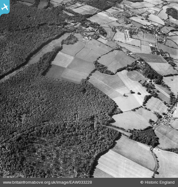
EAW033228 ENGLAND (1950). Greenmoorhill Farm and the surrounding countryside, Woodcote, 1950
© Copyright OpenStreetMap contributors and licensed by the OpenStreetMap Foundation. 2025. Cartography is licensed as CC BY-SA.
Nearby Images (2)
EAW033228

EAW033229

Details
| Title | [EAW033228] Greenmoorhill Farm and the surrounding countryside, Woodcote, 1950 |
| Reference | EAW033228 |
| Date | 5-October-1950 |
| Link | |
| Place name | WOODCOTE |
| Parish | WOODCOTE |
| District | |
| Country | ENGLAND |
| Easting / Northing | 465623, 181332 |
| Longitude / Latitude | -1.0539458771013, 51.526602613438 |
| National Grid Reference | SU656813 |
Pins
Be the first to add a comment to this image!