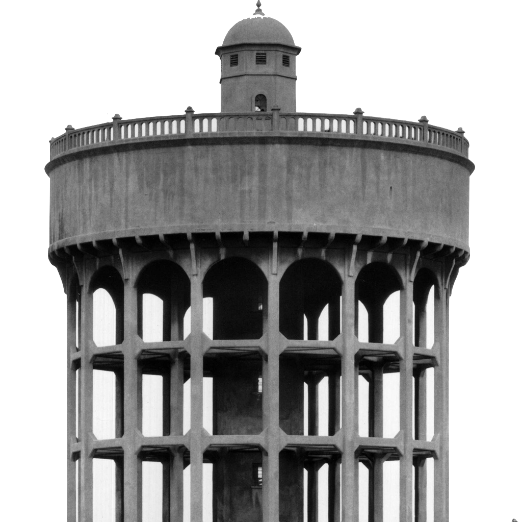
EAW032741 ENGLAND (1950). The Associated Ethyl Co Chemical Works, Lostock Gralam, 1950. This image was marked by Aerofilms Ltd for photo editing.
© Copyright OpenStreetMap contributors and licensed by the OpenStreetMap Foundation. 2026. Cartography is licensed as CC BY-SA.
Nearby Images (10)
Details
| Title | [EAW032741] The Associated Ethyl Co Chemical Works, Lostock Gralam, 1950. This image was marked by Aerofilms Ltd for photo editing. |
| Reference | EAW032741 |
| Date | 20-September-1950 |
| Link | |
| Place name | LOSTOCK GRALAM |
| Parish | LOSTOCK GRALAM |
| District | |
| Country | ENGLAND |
| Easting / Northing | 370376, 374625 |
| Longitude / Latitude | -2.4442163894437, 53.267512493685 |
| National Grid Reference | SJ704746 |
Pins

Matt Aldred edob.mattaldred.com |
Thursday 7th of March 2024 03:35:43 PM | |

Ferrers |
Wednesday 22nd of June 2022 12:03:29 PM | |

Ian Warburton |
Thursday 29th of January 2015 06:11:55 PM | |

Ian Warburton |
Thursday 29th of January 2015 06:09:41 PM |


![[EAW032741] The Associated Ethyl Co Chemical Works, Lostock Gralam, 1950. This image was marked by Aerofilms Ltd for photo editing.](http://britainfromabove.org.uk/sites/all/libraries/aerofilms-images/public/100x100/EAW/032/EAW032741.jpg)
![[EAW032743] The Associated Ethyl Co Chemical Works, Lostock Gralam, 1950](http://britainfromabove.org.uk/sites/all/libraries/aerofilms-images/public/100x100/EAW/032/EAW032743.jpg)
![[EAW032742] The Associated Ethyl Co Chemical Works, Lostock Gralam, 1950](http://britainfromabove.org.uk/sites/all/libraries/aerofilms-images/public/100x100/EAW/032/EAW032742.jpg)
![[EAW032736] The Associated Ethyl Co Chemical Works, Lostock Gralam, 1950](http://britainfromabove.org.uk/sites/all/libraries/aerofilms-images/public/100x100/EAW/032/EAW032736.jpg)
![[EAW032739] The Associated Ethyl Co Chemical Works, Lostock Gralam, 1950. This image was marked by Aerofilms Ltd for photo editing.](http://britainfromabove.org.uk/sites/all/libraries/aerofilms-images/public/100x100/EAW/032/EAW032739.jpg)
![[EAW032740] The Associated Ethyl Co Chemical Works, Lostock Gralam, 1950. This image was marked by Aerofilms Ltd for photo editing.](http://britainfromabove.org.uk/sites/all/libraries/aerofilms-images/public/100x100/EAW/032/EAW032740.jpg)
![[EAW032737] The Associated Ethyl Co Chemical Works, Lostock Gralam, 1950](http://britainfromabove.org.uk/sites/all/libraries/aerofilms-images/public/100x100/EAW/032/EAW032737.jpg)
![[EAW032738] The Associated Ethyl Co Chemical Works, Lostock Gralam, 1950](http://britainfromabove.org.uk/sites/all/libraries/aerofilms-images/public/100x100/EAW/032/EAW032738.jpg)
![[EAW032745] The Associated Ethyl Co Chemical Works and the surrounding countryside, Lostock Gralam, 1950](http://britainfromabove.org.uk/sites/all/libraries/aerofilms-images/public/100x100/EAW/032/EAW032745.jpg)
![[EAW032744] The Associated Ethyl Co Chemical Works, Lostock Gralam, from the north-west, 1950](http://britainfromabove.org.uk/sites/all/libraries/aerofilms-images/public/100x100/EAW/032/EAW032744.jpg)