
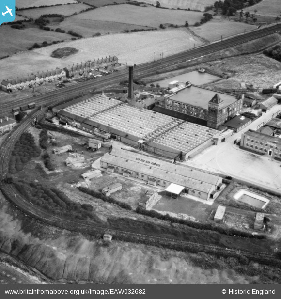
EAW032682 ENGLAND (1950). The Carrington and Dewhurst Ltd Douglas Mill, Standish, 1950
© Copyright OpenStreetMap contributors and licensed by the OpenStreetMap Foundation. 2026. Cartography is licensed as CC BY-SA.
Nearby Images (21)
EAW032682

EAW032680

EAW032677

EAW032679

EAW032681

EAW032675

EAW032683

EAW032678

EAW032672

EAW032673

EAW032676

EAW017269

EAW017268

EAW032674

EAW017271

EAW017274

EAW017273

EAW017270

EAW017266

EAW017267

EAW017272

Details
| Title | [EAW032682] The Carrington and Dewhurst Ltd Douglas Mill, Standish, 1950 |
| Reference | EAW032682 |
| Date | 24-September-1950 |
| Link | |
| Place name | STANDISH |
| Parish | |
| District | |
| Country | ENGLAND |
| Easting / Northing | 357220, 411234 |
| Longitude / Latitude | -2.6464553894758, 53.595692663967 |
| National Grid Reference | SD572112 |
Pins

Matt Aldred edob.mattaldred.com |
Wednesday 6th of October 2021 03:14:53 PM |