
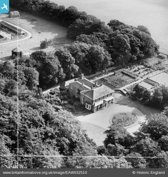
EAW032510 ENGLAND (1950). Little Limber Grange, Little Limber, 1950. This image was marked by Aerofilms Ltd for photo editing.
© Copyright OpenStreetMap contributors and licensed by the OpenStreetMap Foundation. 2026. Cartography is licensed as CC BY-SA.
Nearby Images (8)
EAW032510

EAW032507

EAW032509

EAW032508

EAW032504

EAW032511

EAW032506

EAW032505

Details
| Title | [EAW032510] Little Limber Grange, Little Limber, 1950. This image was marked by Aerofilms Ltd for photo editing. |
| Reference | EAW032510 |
| Date | 5-September-1950 |
| Link | |
| Place name | LITTLE LIMBER |
| Parish | BROCKLESBY |
| District | |
| Country | ENGLAND |
| Easting / Northing | 510865, 409284 |
| Longitude / Latitude | -0.32572875305556, 53.568192786553 |
| National Grid Reference | TA109093 |
Pins
Be the first to add a comment to this image!