
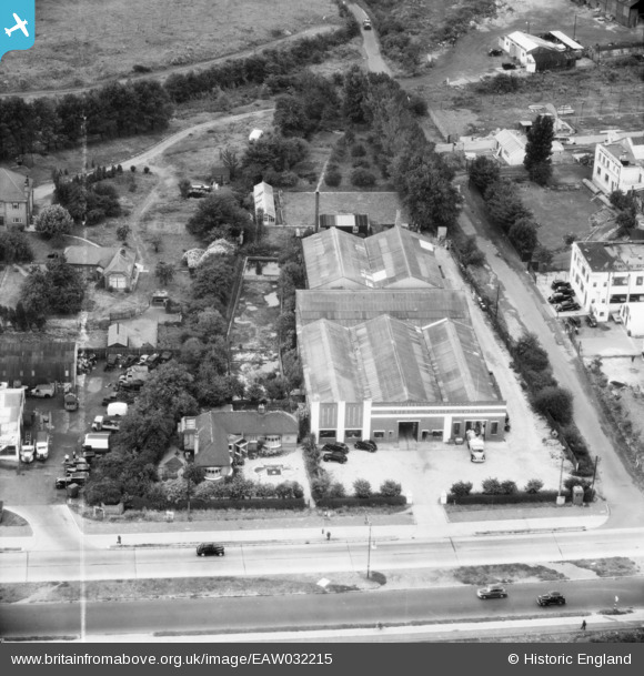
EAW032215 ENGLAND (1950). The Trebor Factory on Woodford Avenue, Clayhall, 1950. This image was marked by Aerofilms Ltd for photo editing.
© Copyright OpenStreetMap contributors and licensed by the OpenStreetMap Foundation. 2026. Cartography is licensed as CC BY-SA.
Nearby Images (8)
EAW032215

EAW032214

EAW032218

EAW032220

EAW032217

EAW032216

EAW032219

EAW032213

Details
| Title | [EAW032215] The Trebor Factory on Woodford Avenue, Clayhall, 1950. This image was marked by Aerofilms Ltd for photo editing. |
| Reference | EAW032215 |
| Date | 4-September-1950 |
| Link | |
| Place name | CLAYHALL |
| Parish | |
| District | |
| Country | ENGLAND |
| Easting / Northing | 541852, 189933 |
| Longitude / Latitude | 0.047928320898045, 51.589894130491 |
| National Grid Reference | TQ419899 |
