
EAW031948 ENGLAND (1950). Knoyle Place and the surrounding area, East Knoyle, 1950

© Copyright OpenStreetMap contributors and licensed by the OpenStreetMap Foundation. 2026. Cartography is licensed as CC BY-SA.
Nearby Images (8)
EAW031948

EAW031946

EAW031949

EAW031944

EAW031947

EAW032036

EAW031945

EAW031943

Details
| Title | [EAW031948] Knoyle Place and the surrounding area, East Knoyle, 1950 |
| Reference | EAW031948 |
| Date | 17-August-1950 |
| Link | |
| Place name | EAST KNOYLE |
| Parish | EAST KNOYLE |
| District | |
| Country | ENGLAND |
| Easting / Northing | 387820, 130493 |
| Longitude / Latitude | -2.1738695068322, 51.073102103236 |
| National Grid Reference | ST878305 |
Pins

Class31 |
Thursday 9th of June 2016 08:49:38 AM |

User Comment Contributions
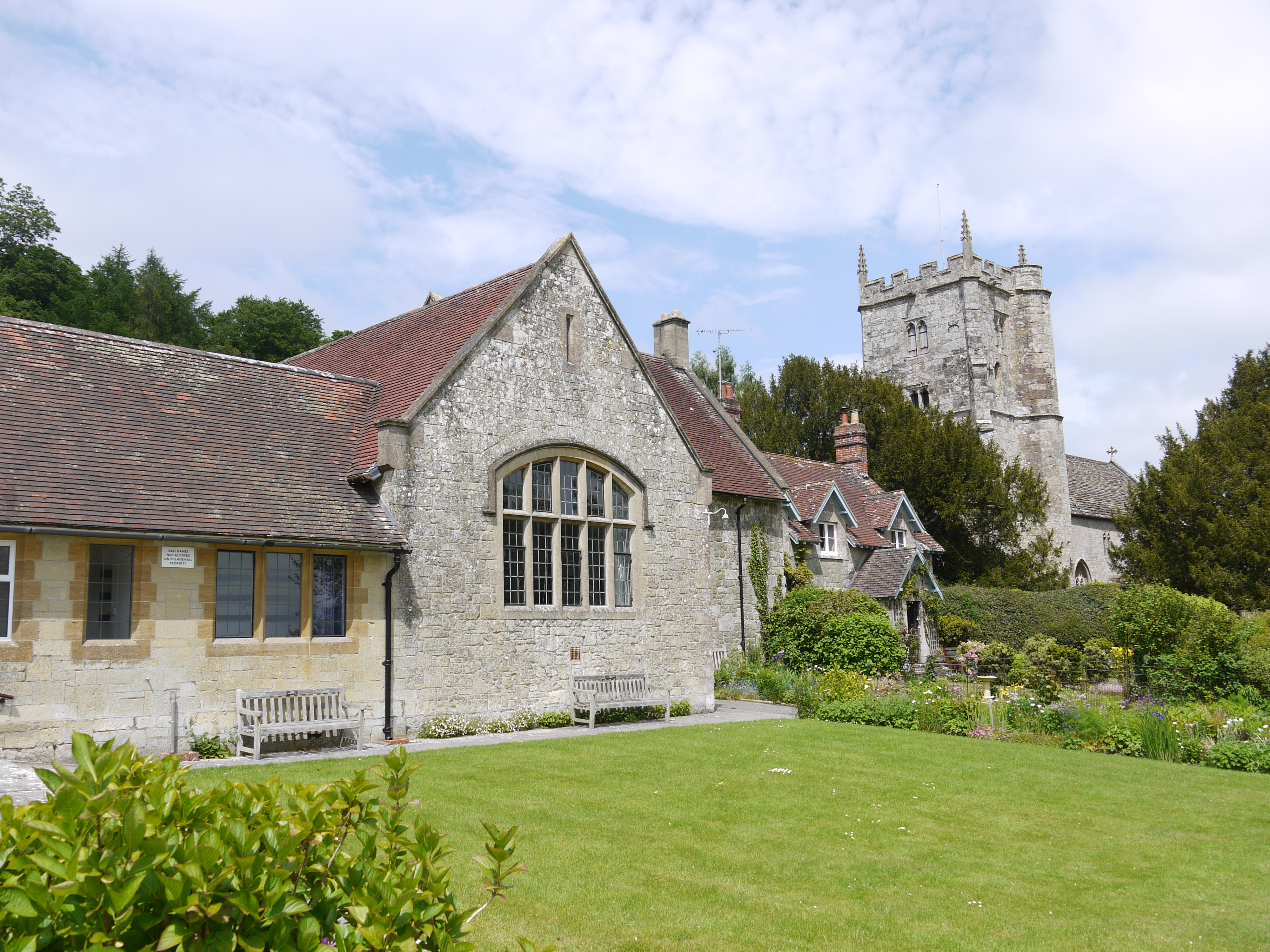
Village Hall and Parish Church of St. Mary's, East Knoyle, 02/06/2016 |
Class31 |
Thursday 9th of June 2016 08:49:00 AM |