
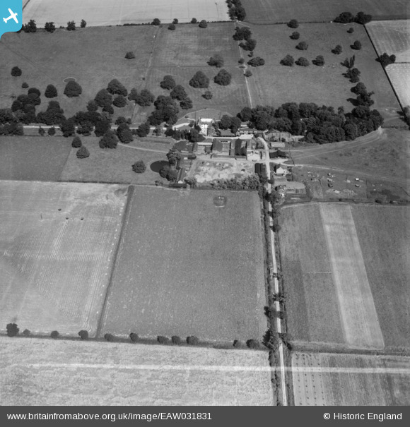
EAW031831 ENGLAND (1950). Needham Hall, Friday Bridge, 1950. This image was marked by Aerofilms Ltd for photo editing.
© Copyright OpenStreetMap contributors and licensed by the OpenStreetMap Foundation. 2025. Cartography is licensed as CC BY-SA.
Nearby Images (10)
EAW031831

EAW031836

EAW031830

EAW031829

EAW031835

EAW031828

EAW031834

EAW031826

EAW031827

EAW031832

Details
| Title | [EAW031831] Needham Hall, Friday Bridge, 1950. This image was marked by Aerofilms Ltd for photo editing. |
| Reference | EAW031831 |
| Date | 14-August-1950 |
| Link | |
| Place name | FRIDAY BRIDGE |
| Parish | ELM |
| District | |
| Country | ENGLAND |
| Easting / Northing | 547698, 304146 |
| Longitude / Latitude | 0.18179632334097, 52.614619563976 |
| National Grid Reference | TF477041 |
Pins
Be the first to add a comment to this image!