
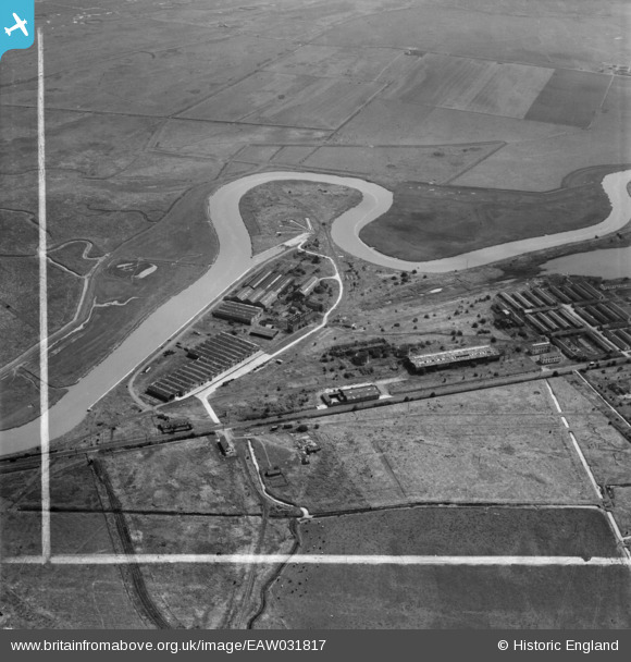
EAW031817 ENGLAND (1950). The Pfizer Pharmaceutical Works and environs, Great Stonar, 1950. This image was marked by Aerofilms Ltd for photo editing.
© Copyright OpenStreetMap contributors and licensed by the OpenStreetMap Foundation. 2026. Cartography is licensed as CC BY-SA.
Nearby Images (11)
EAW031817

EAW031815

EAW031813

EAW031809

EAW031810

EAW031812

EAW031808

EAW031811

EAW031814

EAW031818

EAW031821

Details
| Title | [EAW031817] The Pfizer Pharmaceutical Works and environs, Great Stonar, 1950. This image was marked by Aerofilms Ltd for photo editing. |
| Reference | EAW031817 |
| Date | 14-August-1950 |
| Link | |
| Place name | GREAT STONAR |
| Parish | SANDWICH |
| District | |
| Country | ENGLAND |
| Easting / Northing | 633567, 159850 |
| Longitude / Latitude | 1.3502150649815, 51.289295664719 |
| National Grid Reference | TR336599 |
Pins

Matt Aldred edob.mattaldred.com |
Thursday 7th of March 2024 10:04:21 AM | |
|
Matt Aldred edob.mattaldred.com |
Wednesday 6th of September 2023 01:25:46 PM |