
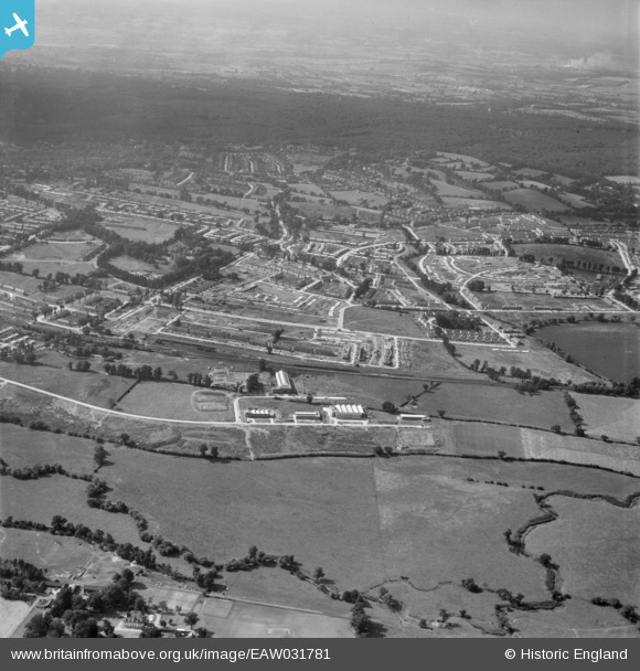
EAW031781 ENGLAND (1950). The Debden Estate under construction, Loughton, 1950
© Copyright OpenStreetMap contributors and licensed by the OpenStreetMap Foundation. 2026. Cartography is licensed as CC BY-SA.
Nearby Images (6)
EAW031781

EAW031777

EAW031785

EAW031784

EAW031778

EAW049302
, Loughton, 1953. This image was marked by Aerofilms Ltd for photo editing.")
Details
| Title | [EAW031781] The Debden Estate under construction, Loughton, 1950 |
| Reference | EAW031781 |
| Date | 4-August-1950 |
| Link | |
| Place name | LOUGHTON |
| Parish | LOUGHTON |
| District | |
| Country | ENGLAND |
| Easting / Northing | 544294, 196493 |
| Longitude / Latitude | 0.085860769330583, 51.648224520884 |
| National Grid Reference | TQ443965 |
Pins
Be the first to add a comment to this image!