
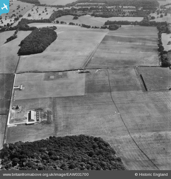
EAW031700 ENGLAND (1950). Fields between High Wood and the Grassland Research Institute Farm, Hurley, 1950
© Copyright OpenStreetMap contributors and licensed by the OpenStreetMap Foundation. 2025. Cartography is licensed as CC BY-SA.
Nearby Images (3)
EAW031700

EAW031706

EAW031699

Details
| Title | [EAW031700] Fields between High Wood and the Grassland Research Institute Farm, Hurley, 1950 |
| Reference | EAW031700 |
| Date | 4-August-1950 |
| Link | |
| Place name | HURLEY |
| Parish | HURLEY |
| District | |
| Country | ENGLAND |
| Easting / Northing | 482284, 182198 |
| Longitude / Latitude | -0.8135999420454, 51.532205989385 |
| National Grid Reference | SU823822 |
